
Limon Watershed L-1 Reservoir, Stausee in den Vereinigten Staaten
Emplacement : Lincoln County
Coordonnées GPS : 39.27833,-103.70389
Dernière mise à jour : 7 avril 2025 à 06:06
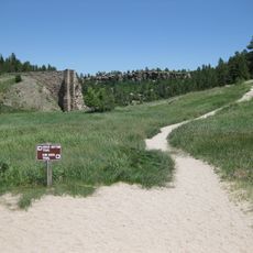
Castlewood Canyon State Park
90.9 km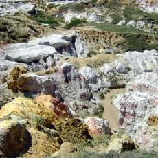
Calhan Paint Mines Archeological District
56.4 km
Colorado Piedmont
78.3 km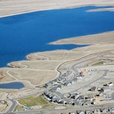
Aurora Reservoir
92.5 km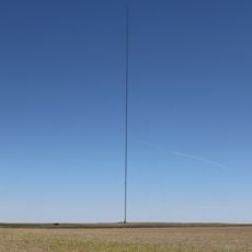
Hoyt Radio Tower
75.3 km
Missile Defense Integration and Operations Center
88.7 km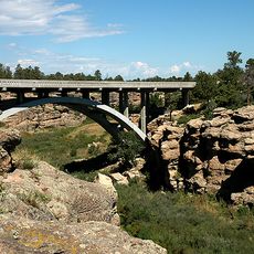
Cherry Creek Bridge
88.9 km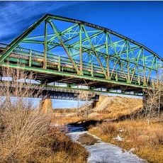
Black Squirrel Creek Bridge
76.2 km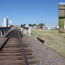
Comanche Crossing of the Kansas Pacific Railroad
72.8 km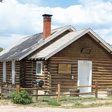
Black Forest School
91 km
Taylor Memorial Chapel
92.7 km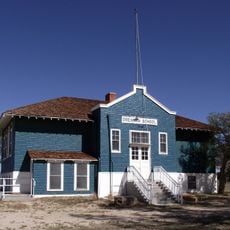
Drennan School
87 km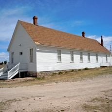
Pike's Peak Grange No. 163
92.2 km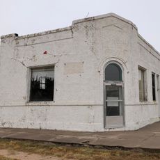
Farmers State Bank of Cope
84.9 km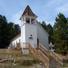
St. Mark United Presbyterian Church
72.1 km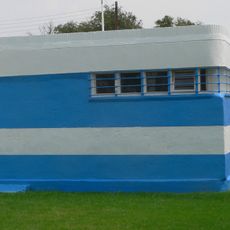
Hugo Municipal Pool
26.2 km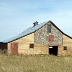
J.G. Evans Barn
88.2 km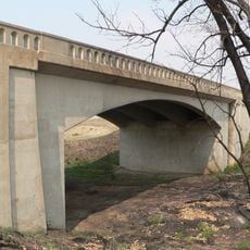
West Plum Bush Creek Bridge
52 km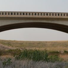
Plum Bush Creek Bridge
53.2 km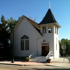
Ruth Memorial Methodist Episcopal Church
94.6 km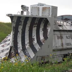
Rock Island Snow Plow No. 95580
2.4 km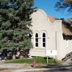
First Presbyterian Church of Ramah
43.7 km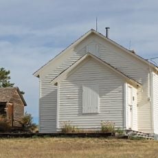
Spring Valley School
93 km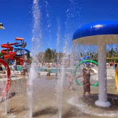
H2O'Brien Water Park
95 km
El Paso County Fairgrounds
58.1 km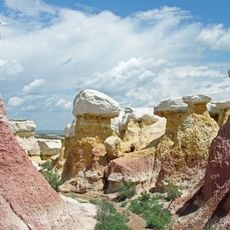
Paint Mines Interpretive Park
56.4 km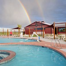
Banning Lewis Ranch Vista Water Park
91.4 km
Scuba Beach
90 kmAvis
Vous avez visité ce lieu ? Touchez les étoiles pour le noter et partager votre expérience ou vos photos avec la communauté ! Essayez maintenant ! Vous pouvez annuler à tout moment.
Trouvez des trésors cachés à chaque coin de rue !
Des petits cafés pittoresques aux points de vue planqués, fuyez la foule et dénichez les lieux qui vous ressemblent vraiment. Notre app vous facilite la vie : recherche vocale, filtres malins, itinéraires optimisés et bons plans partagés par des voyageurs du monde entier. Téléchargez vite pour vivre l'aventure en version mobile !

Une approche inédite de la découverte touristique❞
— Le Figaro
Tous les lieux qui valent la peine d'être explorés❞
— France Info
Une excursion sur mesure en quelques clics❞
— 20 Minutes