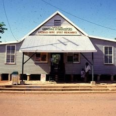
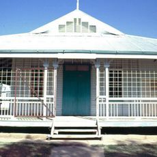
Kuridala Township site, former mining town in Queensland, Australia
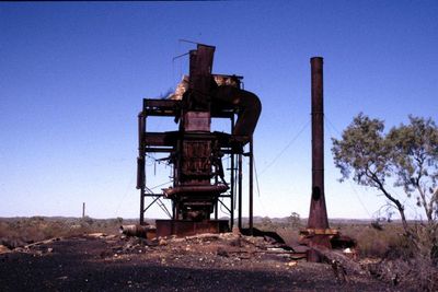
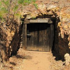
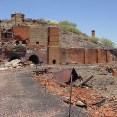
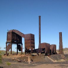
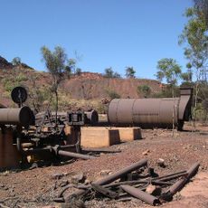
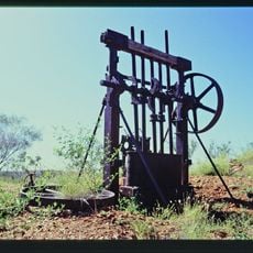
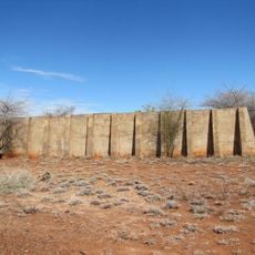
Kuridala Township site est une ruine de communauté minière dans le Queensland reconnue aujourd'hui comme une ville fantôme. Les vestiges incluent des murs en pierre, des puits de mine et deux cheminées hautes distinctives de l'ancienne fonderie Hampden visibles de loin.
Après la découverte du cuivre en 1884, Kuridala a rapidement grandi pour devenir une ville minière prospère qui a atteint environ 2.000 habitants. La fonderie Hampden a ouvert en 1911 et a joué un rôle crucial dans la production de métaux pendant la Première Guerre mondiale, mais après la guerre, la baisse des prix du cuivre a conduit à la fermeture de l'installation vers 1926.
Le nom Kuridala provient d'un mot aborigène signifiant aigle royal, bien que son origine linguistique exacte reste incertaine. Les ruines et les deux hautes cheminées témoignent de la façon dont le travail minier a autrefois façonné la vie quotidienne et les liens communautaires.
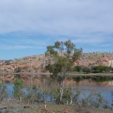
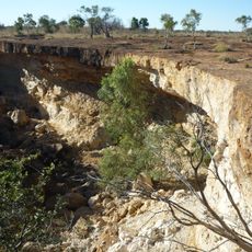
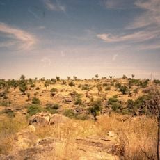
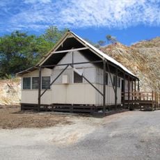
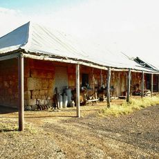
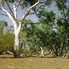
Le site est situé à environ 65 kilomètres au sud de Cloncurry et est facile à reconnaître par ses deux hautes cheminées. Les visiteurs doivent faire attention aux puits de mine ouverts non marqués et porter des chaussures appropriées pour naviguer le terrain inégal.
Le cimetière contient plus de 360 tombes, documentant la croissance démographique antérieure et l'histoire en couches de la ville. Ce lieu de repos tranquille raconte l'histoire de gens qui cherchaient une nouvelle vie, laissant derrière eux un héritage préservé uniquement dans ces pierres tombales.
La communauté des voyageurs curieux
AroundUs rassemble des milliers de lieux sélectionnés, conseils locaux et pépites cachées, enrichis chaque jour par plus de 60,000 contributeurs à travers le monde.