
Pungala, parroquia rural del cantón Riobamba
Emplacement : Riobamba Canton
Coordonnées GPS : -1.81693,-78.59359
Dernière mise à jour : 2 avril 2025 à 07:21
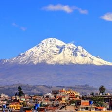
Chimborazo
46 km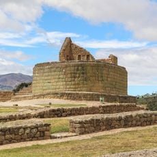
Ingapirca
86.3 km
Tungurahua
42.1 km
Parc national Sangay
29 km
Sangay
35 km
Parc national Llanganates
86 km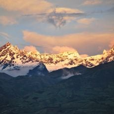
El Altar volcano
26 km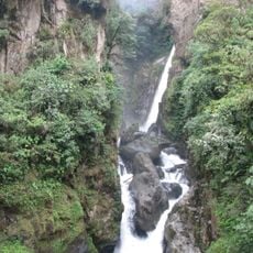
Cascada el Pailón del Diablo
56.6 km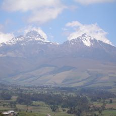
Illinizas Ecological Reserve
108.1 km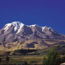
Chimborazo Fauna Production Reserve
45.4 km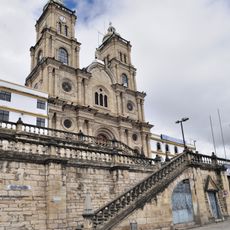
Shrine of the Virgin of the Cloud
106.6 km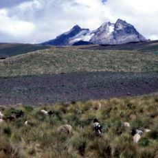
Carihuairazo volcano
48.8 km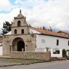
Iglesia de La Balbanera
21.5 km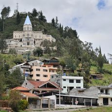
Sanctuary of the Blessed Virgin of Rocio
105.4 km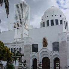
Cathedral Basilica of Our Lady of the Elevation
64.2 km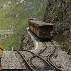
La Nariz del Diablo
56.9 km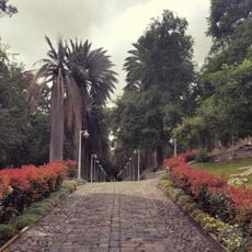
Atocha-La Liria Botanical Garden
64.1 km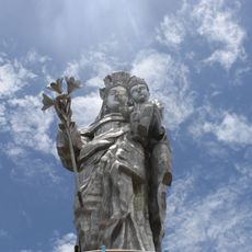
Our Lady of the Cloud Monument
104 km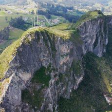
Cerro Cojitambo
110 km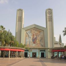
Our Lady of Mercy Cathedral, Babahoyo
104.4 km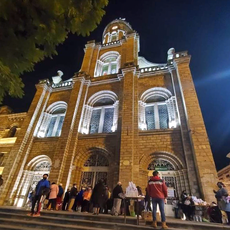
Cathedral of Azogues
106.4 km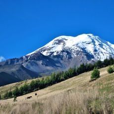
Chimborazo
45.8 km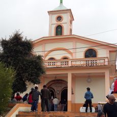
Santuario Católico del Señor de los Milagros de Andacocha
109.5 km
Our Lady of the Rosary Cathedral, Puyo
76 km
Martínez-Holguín House
65.7 km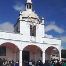
Santuario Católico Eucarístico Diocesano San Antonio
92 km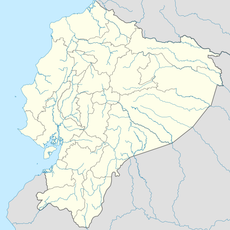
Negro River
108.1 km
Mulatos River
108.6 kmAvis
Vous avez visité ce lieu ? Touchez les étoiles pour le noter et partager votre expérience ou vos photos avec la communauté ! Essayez maintenant ! Vous pouvez annuler à tout moment.
Trouvez des trésors cachés à chaque coin de rue !
Des petits cafés pittoresques aux points de vue planqués, fuyez la foule et dénichez les lieux qui vous ressemblent vraiment. Notre app vous facilite la vie : recherche vocale, filtres malins, itinéraires optimisés et bons plans partagés par des voyageurs du monde entier. Téléchargez vite pour vivre l'aventure en version mobile !

Une approche inédite de la découverte touristique❞
— Le Figaro
Tous les lieux qui valent la peine d'être explorés❞
— France Info
Une excursion sur mesure en quelques clics❞
— 20 Minutes