
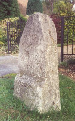
Milestone At National Grid Reference Sp4468 0725
Milestone At National Grid Reference Sp4468 0725, milestone in Cumnor, Vale of White Horse, Oxfordshire, UK
Emplacement : Cumnor
Création : 19e siècle
Coordonnées GPS : 51.76217,-1.35393
Dernière mise à jour : 4 mars 2025 à 17:59

Swinford Toll Bridge
1.4 km
Farmoor Reservoir
1.9 km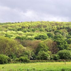
Wytham Woods
1.8 km
Pinkhill Lock
704 m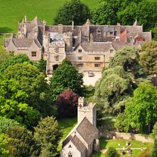
Abbaye de Wytham
3 km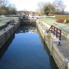
Eynsham Lock
1.4 km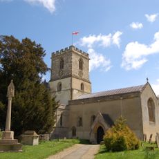
Church of St Michael, Stanton Harcourt
3.4 km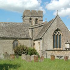
Church of St Michael
3.4 km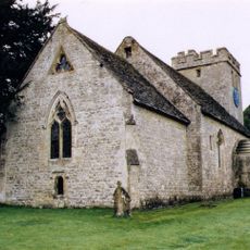
Church of All Saints
3.1 km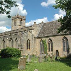
Church of St Leonard
2.4 km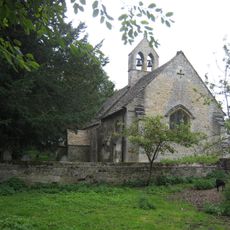
Church of St Margaret
4 km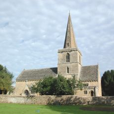
Church of St Peter
3.5 km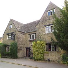
Bear And Ragged Staff Inn
3.4 km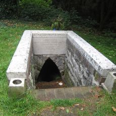
St Margaret's Well
3.9 km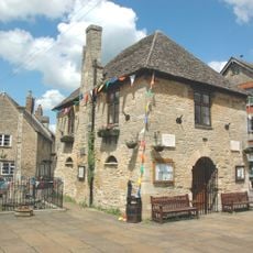
Bartholomew Room
2.4 km
The Talbot Public House And Attached Stable
1.8 km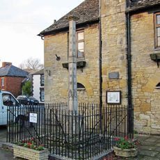
Base Of Market Cross Approximately 2 Metres South Of Bartholomew Room
2.4 km
St Mary's Church
474 m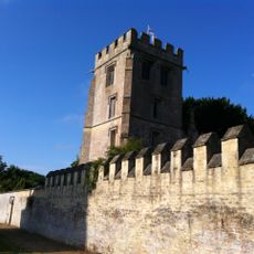
Pope's Tower Approximately 35 Metres South East Of Harcourt House
3.5 km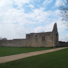
Godstow Abbey
4.1 km
St Peter and St Paul
4 km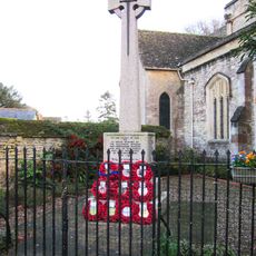
Eynsham War Memorial
2.4 km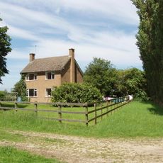
Pinkhill Farmhouse
1.1 km
Harcourt House And Attached Walls And Outbuildings
3.5 km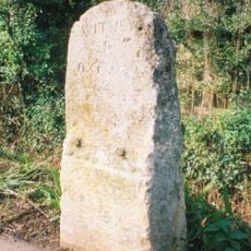
Milestone At National Grid Reference Sp4754 0590
3.2 km
Eynsham market cross
2.4 km
14 Wytham
3.2 km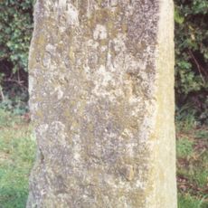
Milestone At National Grid Reference Sp4608 0648
1.6 kmAvis
Vous avez visité ce lieu ? Touchez les étoiles pour le noter et partager votre expérience ou vos photos avec la communauté ! Essayez maintenant ! Vous pouvez annuler à tout moment.
Trouvez des trésors cachés à chaque coin de rue !
Des petits cafés pittoresques aux points de vue planqués, fuyez la foule et dénichez les lieux qui vous ressemblent vraiment. Notre app vous facilite la vie : recherche vocale, filtres malins, itinéraires optimisés et bons plans partagés par des voyageurs du monde entier. Téléchargez vite pour vivre l'aventure en version mobile !

Une approche inédite de la découverte touristique❞
— Le Figaro
Tous les lieux qui valent la peine d'être explorés❞
— France Info
Une excursion sur mesure en quelques clics❞
— 20 Minutes