
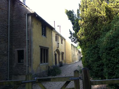
Harcourt House And Attached Walls And Outbuildings
Harcourt House And Attached Walls And Outbuildings, architectural structure in Stanton Harcourt, West Oxfordshire, England, UK
Emplacement : Stanton Harcourt
Coordonnées GPS : 51.74820,-1.39895
Dernière mise à jour : 9 mars 2025 à 02:30
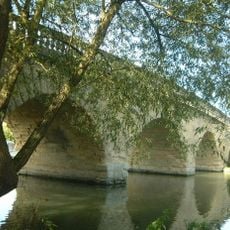
Swinford Toll Bridge
4 km
Farmoor Reservoir
3 km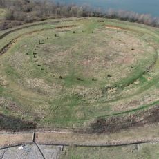
Devil's Quoits
1 km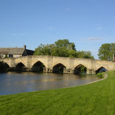
New Bridge
4.5 km
Pinkhill Lock
2.8 km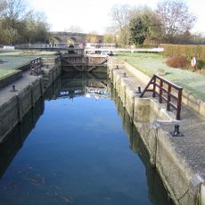
Eynsham Lock
4.1 km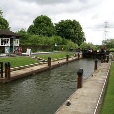
Northmoor Lock
3.9 km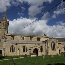
St Giles' Church, Standlake
2.8 km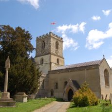
Church of St Michael, Stanton Harcourt
86 m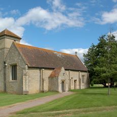
Church of St Mary, Cokethorpe
4.3 km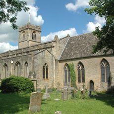
Church of St Leonard
3.9 km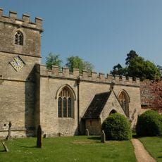
Church of St James
4 km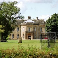
Cokethorpe House
4.6 km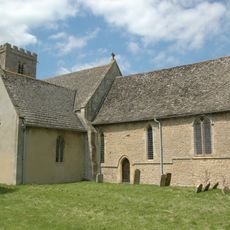
Church of St Denys
2.8 km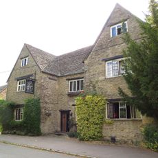
Bear And Ragged Staff Inn
4.6 km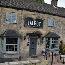
The Talbot Public House And Attached Stable
4 km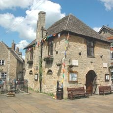
Bartholomew Room
4 km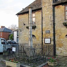
Base Of Market Cross Approximately 2 Metres South Of Bartholomew Room
4 km
St Mary's Church
3.7 km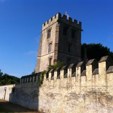
Pope's Tower Approximately 35 Metres South East Of Harcourt House
51 m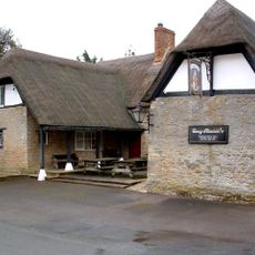
The Masons Arms Public House
3.8 km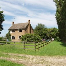
Pinkhill Farmhouse
2.6 km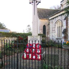
Eynsham War Memorial
4 km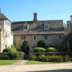
Rectory Farmhouse
2.9 km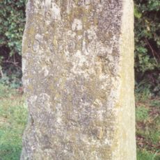
Milestone At National Grid Reference Sp4608 0648
4.6 km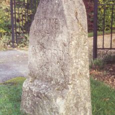
Milestone At National Grid Reference Sp4468 0725
3.5 km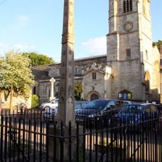
Eynsham market cross
4 km
Rectory Farm, Barn Approximately 60 Metres North North East Of Farmhouse
2.8 kmAvis
Vous avez visité ce lieu ? Touchez les étoiles pour le noter et partager votre expérience ou vos photos avec la communauté ! Essayez maintenant ! Vous pouvez annuler à tout moment.
Trouvez des trésors cachés à chaque coin de rue !
Des petits cafés pittoresques aux points de vue planqués, fuyez la foule et dénichez les lieux qui vous ressemblent vraiment. Notre app vous facilite la vie : recherche vocale, filtres malins, itinéraires optimisés et bons plans partagés par des voyageurs du monde entier. Téléchargez vite pour vivre l'aventure en version mobile !

Une approche inédite de la découverte touristique❞
— Le Figaro
Tous les lieux qui valent la peine d'être explorés❞
— France Info
Une excursion sur mesure en quelques clics❞
— 20 Minutes