
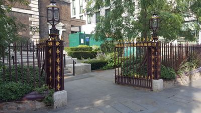
Iron Gateway To Yard Of Church Of St Botolph, City of London, Greater London, EC3N
Emplacement : City of London
Coordonnées GPS : 51.51384,-0.07628
Dernière mise à jour : 20 mars 2025 à 12:25
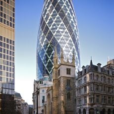
The Gherkin, 30 St Mary Axe
285 m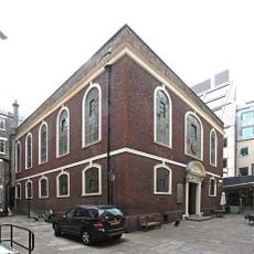
Synagogue de Bevis Marks
205 m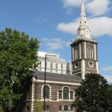
St Botolph's Aldgate
119 m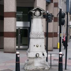
Aldgate Pump
96 m
40 Leadenhall Street
271 m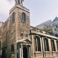
Church of St Katharine Cree, London
194 m
St Botolph Building
123 m
The Aldgate School
66 m
Holy Trinity, Minories, London
286 m
Ibex House
239 m
St Katherine Coleman
299 m
St James Duke's Place
222 m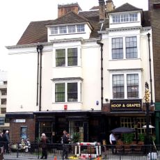
Hoop and Grapes
151 m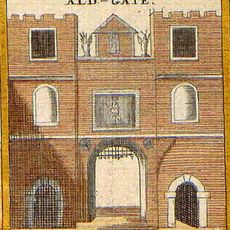
Aldgate
47 m
2-16, Creechurch Lane Ec3
196 m
72-75, Fenchurch Street Ec3
197 m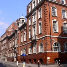
Sir John Cass College
95 m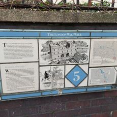
London Wall: remains of Roman wall, bastions and city gate of Aldgate from 17 Bevis Marks to India Street
79 m
Gatepiers At Entrance To Port Of London Authority's Warehouses
295 m
Gate And End Piers And Wall To Road
251 m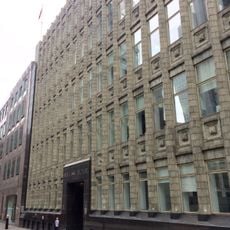
Holland House
227 m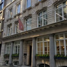
8, Lloyd's Avenue Ec3
264 m
57 And 59, Mansell Street E1
259 m
Lloyd's Registry
234 m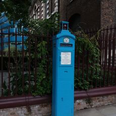
Police Public Callbox Outside St Botolph Aldgate Church
14 m
House To East Of Entrance To Port Of London Authority's Warehouses
287 m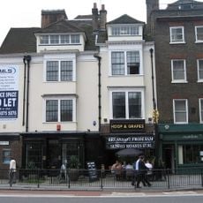
46, Aldgate High Street Ec3
156 m
Lloyd's Avenue House
262 mAvis
Vous avez visité ce lieu ? Touchez les étoiles pour le noter et partager votre expérience ou vos photos avec la communauté ! Essayez maintenant ! Vous pouvez annuler à tout moment.
Trouvez des trésors cachés à chaque coin de rue !
Des petits cafés pittoresques aux points de vue planqués, fuyez la foule et dénichez les lieux qui vous ressemblent vraiment. Notre app vous facilite la vie : recherche vocale, filtres malins, itinéraires optimisés et bons plans partagés par des voyageurs du monde entier. Téléchargez vite pour vivre l'aventure en version mobile !

Une approche inédite de la découverte touristique❞
— Le Figaro
Tous les lieux qui valent la peine d'être explorés❞
— France Info
Une excursion sur mesure en quelques clics❞
— 20 Minutes