
Stanley, ville américaine de l'état du Wisconsin
Emplacement : Chippewa County
Emplacement : Clark County
Création : 1881
Altitude : 330 m
Coordonnées GPS : 44.96139,-90.93861
Dernière mise à jour : 6 mars 2025 à 15:16
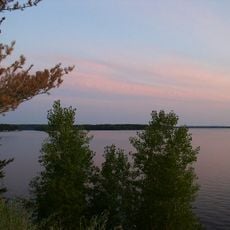
Lac Wissota
30.6 km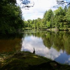
Brunet Island State Park
30.1 km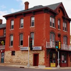
James Sheeley House
36 km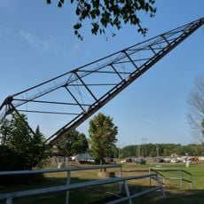
Cornell Pulpwood Stacker
29.2 km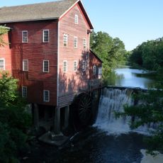
Dells Mill
31.1 km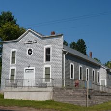
Z. C. B. J. Hall
18.5 km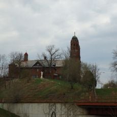
Sacred Heart Church
47 km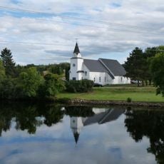
Flambeau Mission Church
43.1 km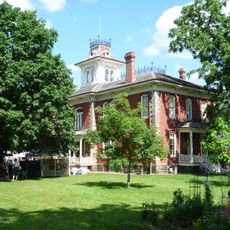
Cook-Rutledge House
36.5 km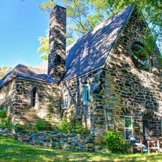
Saint Edward's Chapel
46.5 km
Emery Street Bungalow District
45.9 km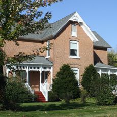
John Bohrnstedt House
35.6 km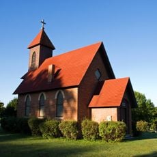
St. Joseph's Chapel
45.4 km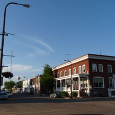
Woodland Hotel
29.5 km
Jump River Town Hall
44.8 km
D. R. Moon Memorial Library
278 m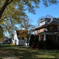
West Hill Residential Historic District
36.8 km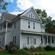
L.I. Roe House
609 m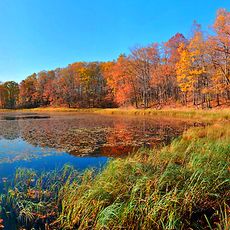
Chippewa Moraine Lakes State Natural Area
43 km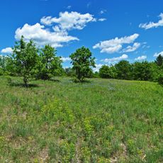
Canoe Landing Prairie State Natural Area
25.7 km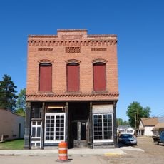
California Wine and Liquor Store
40.2 km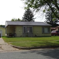
Einar and Alice Borton House
45.7 km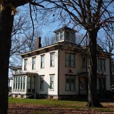
Robert Schofield House
34.6 km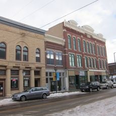
Bridge Street Commercial Historic District
35.9 km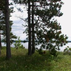
Lake Wissota State Park
28.3 km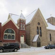
Notre Dame Church and Goldsmith Memorial Chapel
35.4 km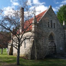
Jane E. Putnam Memorial Chapel
46.6 km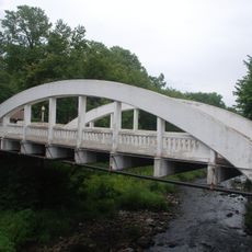
Marsh Rainbow Arch Bridge
35.7 kmAvis
Vous avez visité ce lieu ? Touchez les étoiles pour le noter et partager votre expérience ou vos photos avec la communauté ! Essayez maintenant ! Vous pouvez annuler à tout moment.
Trouvez des trésors cachés à chaque coin de rue !
Des petits cafés pittoresques aux points de vue planqués, fuyez la foule et dénichez les lieux qui vous ressemblent vraiment. Notre app vous facilite la vie : recherche vocale, filtres malins, itinéraires optimisés et bons plans partagés par des voyageurs du monde entier. Téléchargez vite pour vivre l'aventure en version mobile !

Une approche inédite de la découverte touristique❞
— Le Figaro
Tous les lieux qui valent la peine d'être explorés❞
— France Info
Une excursion sur mesure en quelques clics❞
— 20 Minutes