
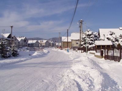
Snakov, commune de Slovaquie
Emplacement : Bardejov District
Création : 1475
Altitude : 459 m
Site web : https://www.snakov.sk
Partage une frontière avec : Malcov
Site web : https://snakov.sk
Coordonnées GPS : 49.32500,21.04722
Dernière mise à jour : 2 juin 2025 à 19:30
Kościół pw. Świętego Jakuba Młodszego Apostoła w Powroźniku
8.6 km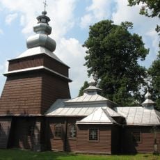
Church of Saints Cosmas and Damian in Tylicz
7.9 km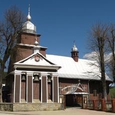
Church of the Holy Apostles Peter and Paul in Tylicz
8.4 km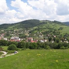
Malnik
9.5 km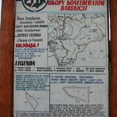
Rezerwat przyrody Okopy Konfederackie
5.4 km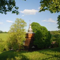
Orthodox Church of Saints Cosmas and Damian in Wojkowa
4.3 km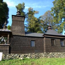
Cerkiew św. Dymitra w Leluchowie
8.4 km
Church of Saint John the Evangelist in Muszynka
6.7 km
Church of Saint Michael Archangel in Dubne
4.7 km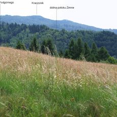
Kraczonik
7.9 km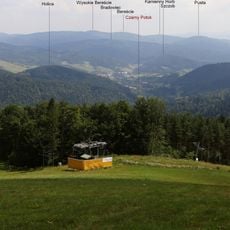
Bradowiec (szczyt)
7.6 km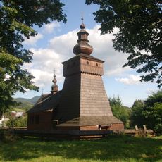
Saint Michael Archangel church in Frička
9 km
Przechyby
7.5 km
Barwinek (szczyt)
3.8 km
Czarne Garby
4.8 km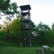
Observation tower at Kráľova studňa
3 km
Pusta (822 m)
4.8 km
Roztoka (Góry Leluchowskie)
5.1 km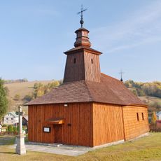
Temple of St Luke, Krivé
8.3 km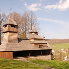
Temple of Saints Cosmas and Damian, Lukov-Venecia
4.2 km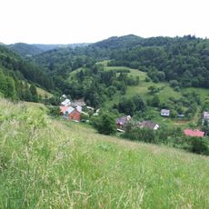
Zdziar (Góry Leluchowskie)
8.5 km
Przykra (Góry Leluchowskie)
6.9 km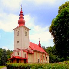
Kostol sv. Martina
8.5 km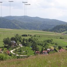
Pieronka
8.4 km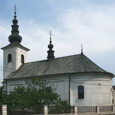
Chrám sv. Michala Archanjela
4.5 km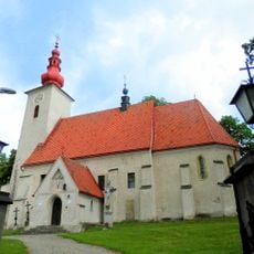
Kostol sv. Vojtecha
8.3 km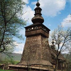
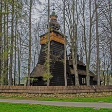
Chrám sv. Michala, kostol drevený
9 km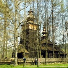
Ogrodzenie z bramkami
8.6 kmAvis
Vous avez visité ce lieu ? Touchez les étoiles pour le noter et partager votre expérience ou vos photos avec la communauté ! Essayez maintenant ! Vous pouvez annuler à tout moment.
Trouvez des trésors cachés à chaque coin de rue !
Des petits cafés pittoresques aux points de vue planqués, fuyez la foule et dénichez les lieux qui vous ressemblent vraiment. Notre app vous facilite la vie : recherche vocale, filtres malins, itinéraires optimisés et bons plans partagés par des voyageurs du monde entier. Téléchargez vite pour vivre l'aventure en version mobile !

Une approche inédite de la découverte touristique❞
— Le Figaro
Tous les lieux qui valent la peine d'être explorés❞
— France Info
Une excursion sur mesure en quelques clics❞
— 20 Minutes