
San Fernando, ville de la province de Cebu, aux Philippines
Emplacement : Cebu
Altitude : 85 m
Partage une frontière avec : Naga, Carcar, Pinamungajan
Coordonnées GPS : 10.16667,123.70000
Dernière mise à jour : 15 mars 2025 à 17:26
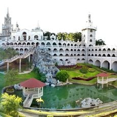
Simala Shrine
23.6 km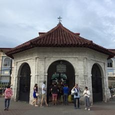
Magellan’s Cross Pavilion
26.2 km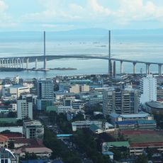
Pont Cebu-Cordova
25.8 km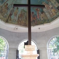
Croix de Magellan
26.2 km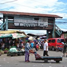
Carbon Market
25.8 km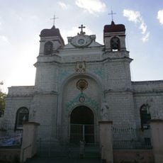
Archdiocesan Shrine of Saint Catherine of Alexandria
9.4 km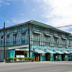
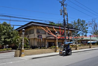
Mercado Mansion
9.4 km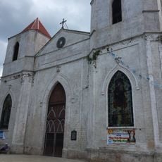
Our Lady of the Pillar Parish Church
18.9 km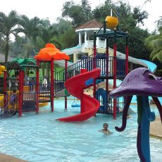
Tubod Flowing Waters Resort
15.2 km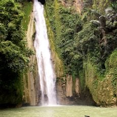
Mantayupan Falls
20.7 km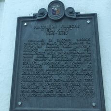
Pantaleon Villegas “Leon Kilat” historical marker
9.4 km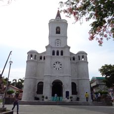
Pardo Church
21.1 km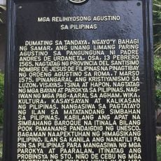
Religious Agustinians of the Philippines historical marker
26.3 km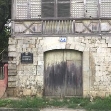
Ang Dakong Balay historical marker
9.5 km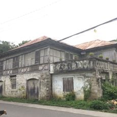
Don Florencio Noel House
9.5 km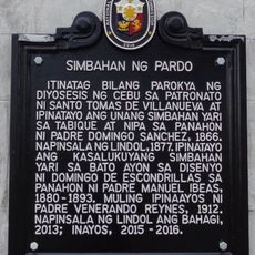
Church of Pardo historical marker
21.1 km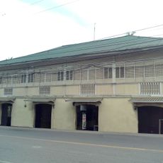
Silva House
9.4 km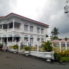
Carcar City Museum
9.4 km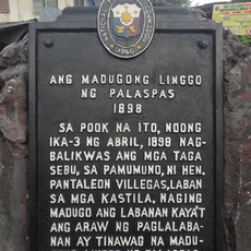
The Bloody Palm Sunday historical marker
25.2 km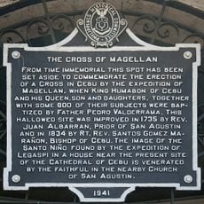
The Cross of Magellan historical marker
26.2 km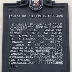
Bank of the Philippine Islands historical marker
26.3 km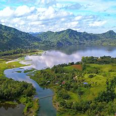
Malubog Lake
22.4 km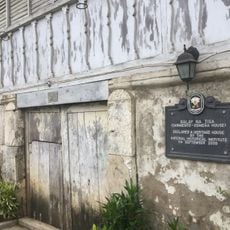
Balay na Tisa historical marker
9.6 km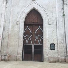
Church of Sibonga historical marker
18.9 km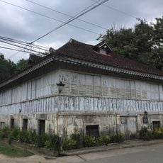
Sarmiento–Osmeña House
9.6 km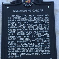
Church of Carcar historical marker
9.4 km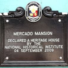
Mercado Mansion historical marker
9.4 km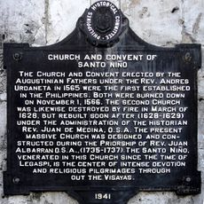
Church and Convent of Santo Niño historical marker
26.3 kmAvis
Vous avez visité ce lieu ? Touchez les étoiles pour le noter et partager votre expérience ou vos photos avec la communauté ! Essayez maintenant ! Vous pouvez annuler à tout moment.
Trouvez des trésors cachés à chaque coin de rue !
Des petits cafés pittoresques aux points de vue planqués, fuyez la foule et dénichez les lieux qui vous ressemblent vraiment. Notre app vous facilite la vie : recherche vocale, filtres malins, itinéraires optimisés et bons plans partagés par des voyageurs du monde entier. Téléchargez vite pour vivre l'aventure en version mobile !

Une approche inédite de la découverte touristique❞
— Le Figaro
Tous les lieux qui valent la peine d'être explorés❞
— France Info
Une excursion sur mesure en quelques clics❞
— 20 Minutes