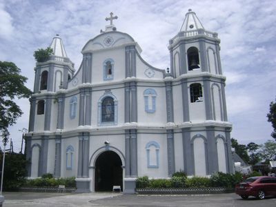
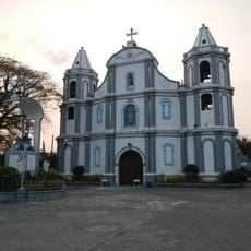
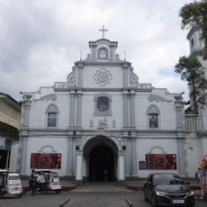
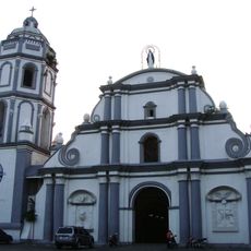
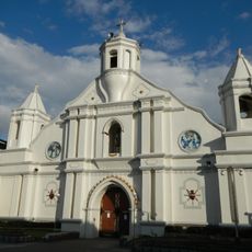
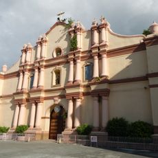
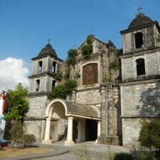
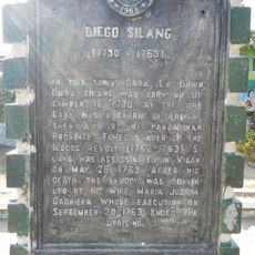
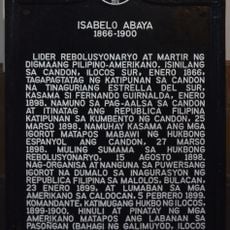
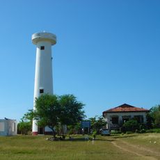
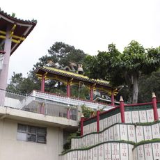
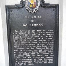
Luna, municipalité de la province de La Union, aux Philippines
Emplacement : La Union
Altitude : 10 m
Partage une frontière avec : Bangar, Balaoan
Site web : http://luna.gov.ph
Coordonnées GPS : 16.85000,120.38333
Dernière mise à jour : 6 mars 2025 à 13:21
La Trinidad Strawberry Farm
49.1 km
Valley of Colors
51.6 km
Namacpacan Church
863 m
San Fernando Cathedral
27 km
Candon Church
38.9 km
Bangar Church
6.5 km
Balaoan Church
3.9 km
Bacnotan Church
14.9 km
Philippine College of Ministry
48.9 km
Diego Silang historical marker
46.8 km
Isabelo Abaya historical marker
38.8 km
Phare de San Fernando
28.1 km
Bell Church
51.9 km
Cry of Candon historical marker
38.8 km
The Battle of Bessang Pass historical marker
31.7 km
Memorare historical marker (Gregorio del Pilar)
41.8 km
Elpidio Quirino historical marker
47.1 km
Battle of Tirad Pass historical marker
41.8 km
Church of San Fernando, La Union historical marker
27 km
Church of Candon historical marker
38.9 km
Caba historical marker
46.8 km
Bacsil Ridge historical marker
25.9 km
The Base Hospital historical marker
11.4 km
Poro Point Lighthouse historical marker
28.4 km
Manuel E. Arguilla historical marker
38.3 km
Camp Spencer historical marker
6 km
Dragon Treasure Castle
51.5 km
The Battle of San Fernando historical marker
27 kmVous avez visité ce lieu ? Touchez les étoiles pour le noter et partager votre expérience ou vos photos avec la communauté ! Essayez maintenant ! Vous pouvez annuler à tout moment.
Trouvez des trésors cachés à chaque coin de rue !
Des petits cafés pittoresques aux points de vue planqués, fuyez la foule et dénichez les lieux qui vous ressemblent vraiment. Notre app vous facilite la vie : recherche vocale, filtres malins, itinéraires optimisés et bons plans partagés par des voyageurs du monde entier. Téléchargez vite pour vivre l'aventure en version mobile !
Une approche inédite de la découverte touristique❞
— Le Figaro
Tous les lieux qui valent la peine d'être explorés❞
— France Info
Une excursion sur mesure en quelques clics❞
— 20 Minutes