Tell el Meleiha, An archigolocial site near kibbutz Beit Kama in the northern Negev desert in Israel
Emplacement : Southern District
Coordonnées GPS : 31.46213,34.77652
Dernière mise à jour : 7 mars 2025 à 12:23

Israël National Trail
10.8 km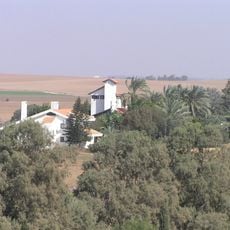
Havat Shikmim
14.6 km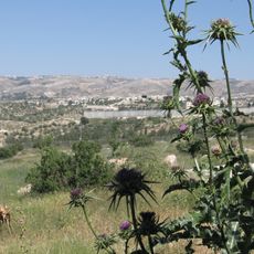
Shekef
16.3 km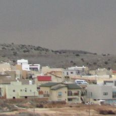
Neta, Israel
14.4 km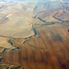
Ruhama Badlands
5.2 km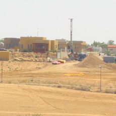
Giv'ot Bar
11.9 km
Pura Nature Reserve
3.8 km
Mabu'im
11.8 km
Nir Moshe
13.9 km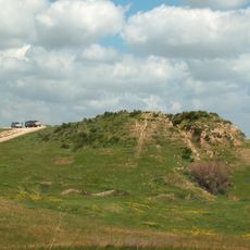
Tell el-Hesi
10.5 km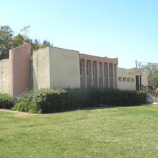
Nir Akiva
12.4 km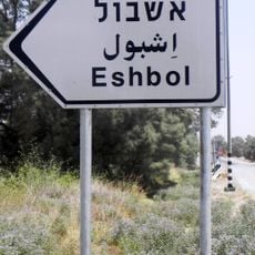
Eshbol
10.5 km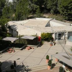
Joe Alon Center
12.5 km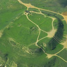
Tel Nagila
4.8 km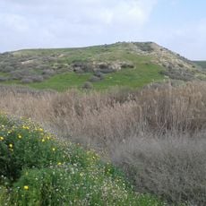
Tel Sera
12.1 km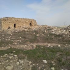
Khirbet Za'ak
10.2 km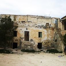
בית השיח' סלמאן אלהוזייל
6.2 km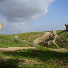
Turkish bridge over Pura stream
4.5 km
Monument to the Fallen of Shoval
6.2 km
Tel Agra in Nachal Adurayim
10.2 km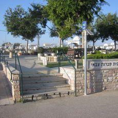
Kiryat Gat Military Cemetery
16.2 km
Al Burj
13.7 km
Ar Ramāḑīn
15.9 km
Bayt ar Rūsh al Fawqā
14.3 km
Bayt Mirsim
13.2 km
Sikkah
16.1 km
Bayt ar Rūsh at Taḩtā
15.1 km
Maghārat az Zāgh
15.6 kmVous avez visité ce lieu ? Touchez les étoiles pour le noter et partager votre expérience ou vos photos avec la communauté ! Essayez maintenant ! Vous pouvez annuler à tout moment.
Trouvez des trésors cachés à chaque coin de rue !
Des petits cafés pittoresques aux points de vue planqués, fuyez la foule et dénichez les lieux qui vous ressemblent vraiment. Notre app vous facilite la vie : recherche vocale, filtres malins, itinéraires optimisés et bons plans partagés par des voyageurs du monde entier. Téléchargez vite pour vivre l'aventure en version mobile !

Une approche inédite de la découverte touristique❞
— Le Figaro
Tous les lieux qui valent la peine d'être explorés❞
— France Info
Une excursion sur mesure en quelques clics❞
— 20 Minutes