
Szaknyér, commune hongroise
Emplacement : Körmend District
Coordonnées GPS : 46.86667,16.53333
Dernière mise à jour : 12 octobre 2025 à 02:39

Parc national du Őrség
9.1 km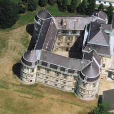
Körmend Castle
16.8 km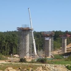
Vasszentmihályi völgyhíd
14.9 km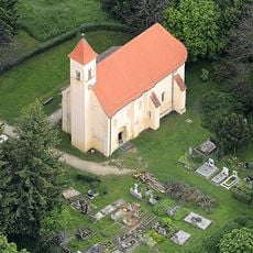
Saint Peter Church, Őriszentpéter
10.2 km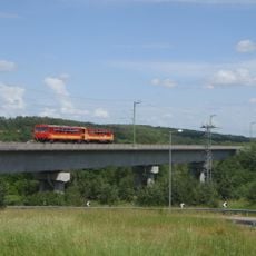
Nagyrákos Viaduct
6.9 km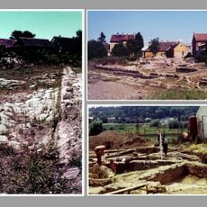
Municipium Aelium Salla
4.5 km
Reformed church in Szentgyörgyvölgy
18.2 km
Szőcei tőzegmohás láprét
4.6 km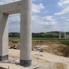
Zalalövő Viaduct
4.5 km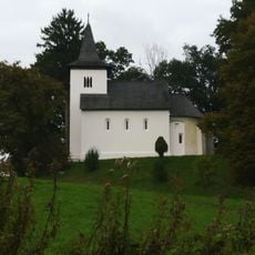
Saint Michael Church in Zalaszentmihályfa
15.8 km
Grand plane
16.9 km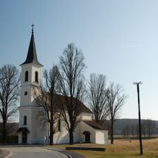
Pfarrkirche Hagensdorf
17.3 km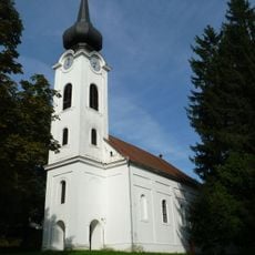
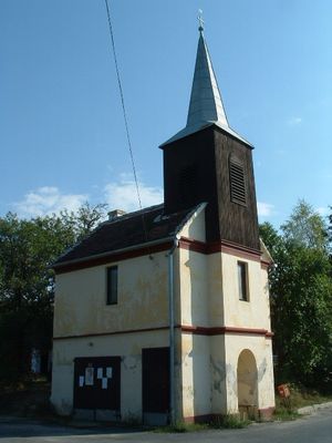
Reformed Church, Őriszentpéter
9.3 km
Reformed church in Senyeháza, Bajánsenye
13.4 km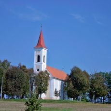
Hodoš Lutheran Church
16.3 km
St. Nicholas's Parish Church
18.8 km
Szentlélek-templom (Bajánsenye)
13.5 km
Kath. Filialkirche Hl. Dreifaltigkeit
18 km
Filialkirche Christi Himmelfahrt, Reinersdorf
19.3 km
Kath. Filialkirche hl. Anna
16.9 km
Lutheran Church in Körmend
17 km
Saint Paul church in Vitenyédszentpál
16.2 km
Szentháromság-templom
7.7 km
Nagyboldogasszony templom
11.5 km
Saint Elisabeth of Hungary Church
7.2 km
Nepomuki Szent János-templom
11.9 km
Weinkeller, Blockkeller
19 km
Ehem. kath. Volksschule
19.3 kmAvis
Vous avez visité ce lieu ? Touchez les étoiles pour le noter et partager votre expérience ou vos photos avec la communauté ! Essayez maintenant ! Vous pouvez annuler à tout moment.
Trouvez des trésors cachés à chaque coin de rue !
Des petits cafés pittoresques aux points de vue planqués, fuyez la foule et dénichez les lieux qui vous ressemblent vraiment. Notre app vous facilite la vie : recherche vocale, filtres malins, itinéraires optimisés et bons plans partagés par des voyageurs du monde entier. Téléchargez vite pour vivre l'aventure en version mobile !

Une approche inédite de la découverte touristique❞
— Le Figaro
Tous les lieux qui valent la peine d'être explorés❞
— France Info
Une excursion sur mesure en quelques clics❞
— 20 Minutes