
Vörs, commune hongroise
Emplacement : Marcali District
Altitude : 113 m
Site web : https://www.vors.hu/
Partage une frontière avec : Balatonszentgyörgy, Szegerdő, Főnyed, Tikos
Site web : https://vors.hu
Coordonnées GPS : 46.66289,17.27045
Dernière mise à jour : 15 avril 2025 à 23:12
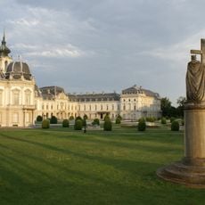
Palais Festetics
12.2 km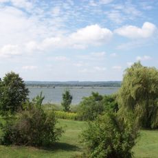
Little Balaton
10.1 km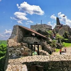
Szigliget Castle
20.2 km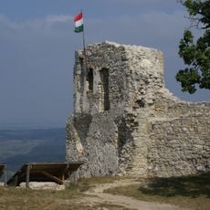
Rezi Castle
22.7 km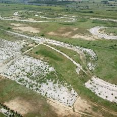
Balatonring
8.4 km
Csillagvár
4 km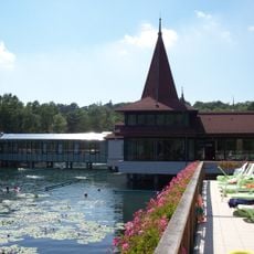
Hévíz Springcave
15 km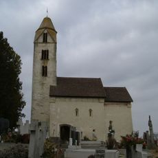
Mary Magdalene church in Egregy
17.3 km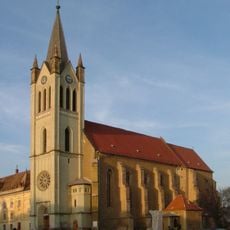
Our Lady of Hungary church in Keszthely
11.5 km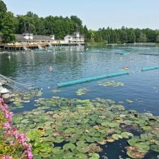
Lake Hévíz Protected Area
15.1 km
Cserszegtomaj Wellcave
16.1 km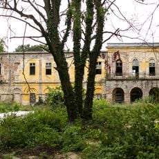
Festetics Mansion, Alsóbogát
5 km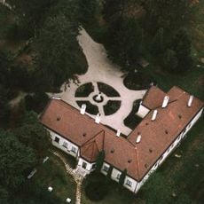
Deák Mansion, Kehida
24.2 km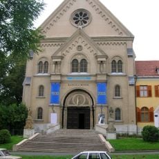
Saint Thérèse Church in Keszthely
12 km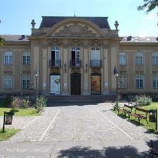
Balaton Museum
10.9 km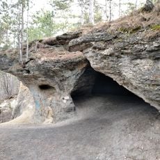
Gyenesdiási Vadlány Hole
12.8 km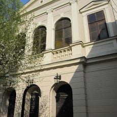
Keszthely Synagogue
11.8 km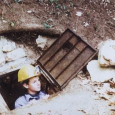
Döme Cave
17.3 km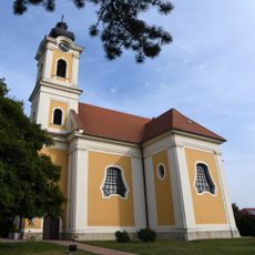
Exaltation of the Cross Church, Balatonkeresztúr
8.4 km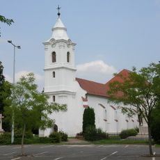
Church of the Annunciation in Marcali
14.3 km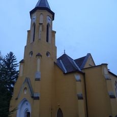
Saint Dominic church in Várvölgy
23 km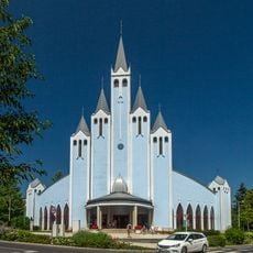
Church of the Holy Spirit Hévíz
15.7 km
Church of the Annunciation, Kehida, Kehidakustány
23.7 km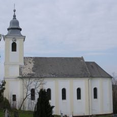
Roman Catholic church, Zalamerenye
16.8 km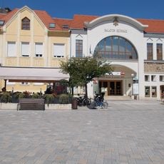
Balaton Színház
11.6 km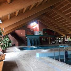
Marcali Városi Gyógyfürdő és Szabadidőközpont
12.6 km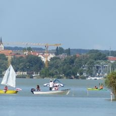
Keszthelyi-öböl
9.7 km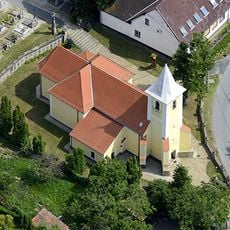
Szent Lukács-templom
20.4 kmAvis
Vous avez visité ce lieu ? Touchez les étoiles pour le noter et partager votre expérience ou vos photos avec la communauté ! Essayez maintenant ! Vous pouvez annuler à tout moment.
Trouvez des trésors cachés à chaque coin de rue !
Des petits cafés pittoresques aux points de vue planqués, fuyez la foule et dénichez les lieux qui vous ressemblent vraiment. Notre app vous facilite la vie : recherche vocale, filtres malins, itinéraires optimisés et bons plans partagés par des voyageurs du monde entier. Téléchargez vite pour vivre l'aventure en version mobile !

Une approche inédite de la découverte touristique❞
— Le Figaro
Tous les lieux qui valent la peine d'être explorés❞
— France Info
Une excursion sur mesure en quelques clics❞
— 20 Minutes