
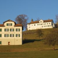
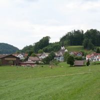
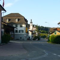
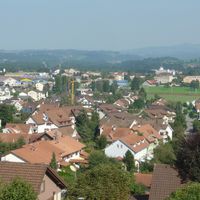
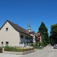
District de Münchwilen, district suisse
Emplacement : Thurgau
Altitude : 518 m
Partage une frontière avec : Weinfelden District, Frauenfeld District
Coordonnées GPS : 47.48330,8.98333
Dernière mise à jour : 31 mars 2025 à 10:40

St. Margarethen chapel
1.4 km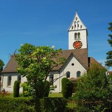
Reformed chuch
2.9 km
Katholische Kirche Eschlikon
2.7 km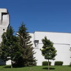
St. Antonius
1.2 km
Reformed church
2.8 km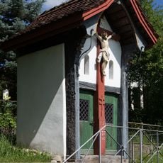
Pilgerhüsli St. Margarethen
1.7 km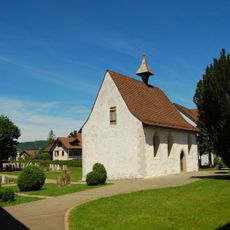
Friedhofskapelle Wängi
2.9 km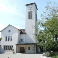
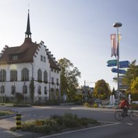
Evangelische Kirche Münchwilen
1.2 km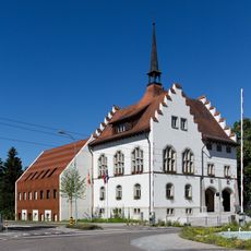
Gerichtsgebäude Münchwilen
1.2 km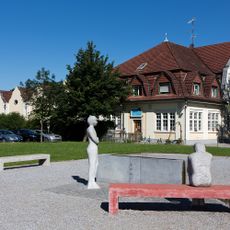
Former weaving mill and hosiery factory
990 m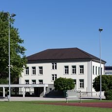
Elementary school house
1.1 km
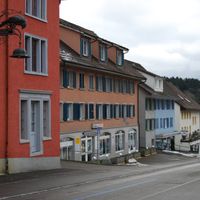
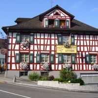
Gasthof Engel
2.6 km
Villa
2.8 km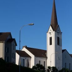
St. Remigius
2.6 km
Methodistische Kirche Eschlikon
2.3 km
Gasthof Löwen
2.2 km
Hoepli residential building
2.7 km
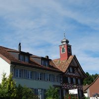
Türmlihuus
2.7 km
Old schoolhouse
2.2 km
Former schoolhouse
918 m
Haus Freudenberg
1 km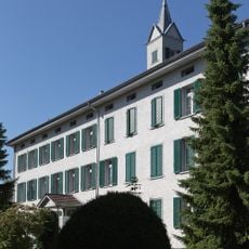
Ehemalige Weberei Münchwilen
1.1 km
Evangelische Kirche Eschlikon
2.5 km
Schulhaus Tuttwil
2.9 km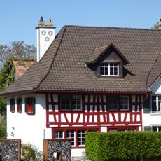
Bauernhaus David’sches Haus
2.7 km
Bauernhaus Möriswang
1.7 km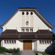
Alte Turnhalle Sirnach
2.5 km
Löwen barn
2.3 kmAvis
Vous avez visité ce lieu ? Touchez les étoiles pour le noter et partager votre expérience ou vos photos avec la communauté ! Essayez maintenant ! Vous pouvez annuler à tout moment.
Trouvez des trésors cachés à chaque coin de rue !
Des petits cafés pittoresques aux points de vue planqués, fuyez la foule et dénichez les lieux qui vous ressemblent vraiment. Notre app vous facilite la vie : recherche vocale, filtres malins, itinéraires optimisés et bons plans partagés par des voyageurs du monde entier. Téléchargez vite pour vivre l'aventure en version mobile !

Une approche inédite de la découverte touristique❞
— Le Figaro
Tous les lieux qui valent la peine d'être explorés❞
— France Info
Une excursion sur mesure en quelques clics❞
— 20 Minutes