
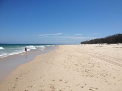
Woorim, suburb of Moreton Bay, Queensland, Australia
Emplacement : City of Moreton Bay
Coordonnées GPS : -27.06997,153.20334
Dernière mise à jour : 6 juin 2025 à 08:53
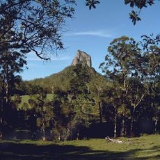
Glass House Mountains National Park
31 km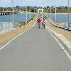
Hornibrook Bridge
26.9 km
Ted Smout Memorial Bridge
26.8 km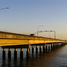
Houghton Highway
26.8 km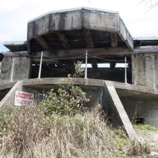
Bribie Island Second World War Fortifications
24.3 km
Bribie Island National Park
23.8 km
Anzac Avenue
19.9 km
Freshwater National Park
24.1 km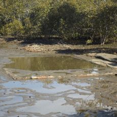
Deception Bay Sea Baths
21.1 km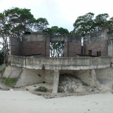
Fort Cowan Cowan
17.2 km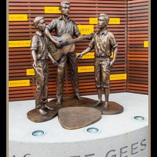
Statue of Bee Gees
19.6 km
Tripcony Hibiscus Caravan Park
30.5 km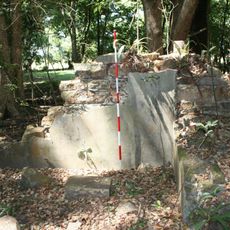
Morayfield Plantation
20.4 km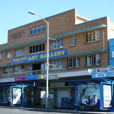
Comino's Arcade
19.6 km
Kings Beach Bathing Pavilion
30.3 km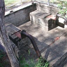
Lagoon Creek Pumping Station
24.7 km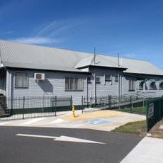
Woody Point Memorial Hall
23.3 km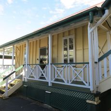
Morayfield State School
25.7 km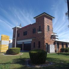
Redcliffe Fire Station
20.7 km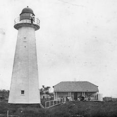
Cowan Cowan Point Light
17.5 km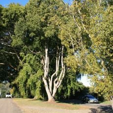
Anzac Avenue Memorial Trees
27.3 km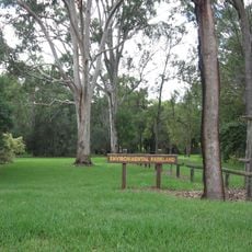
Oaklands Sugar Mill
22.9 km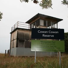
Signal Station
17.2 km
Redcliffe Town Council Chambers
19.4 km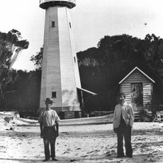
Comboyuro Point Light
15.9 km
Pumicestone National Park
23.1 km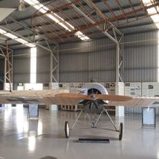
Caboolture Warplane Museum
21.7 km
Scarborough Beach
16.8 kmAvis
Vous avez visité ce lieu ? Touchez les étoiles pour le noter et partager votre expérience ou vos photos avec la communauté ! Essayez maintenant ! Vous pouvez annuler à tout moment.
Trouvez des trésors cachés à chaque coin de rue !
Des petits cafés pittoresques aux points de vue planqués, fuyez la foule et dénichez les lieux qui vous ressemblent vraiment. Notre app vous facilite la vie : recherche vocale, filtres malins, itinéraires optimisés et bons plans partagés par des voyageurs du monde entier. Téléchargez vite pour vivre l'aventure en version mobile !

Une approche inédite de la découverte touristique❞
— Le Figaro
Tous les lieux qui valent la peine d'être explorés❞
— France Info
Une excursion sur mesure en quelques clics❞
— 20 Minutes