
Cannon Hill, suburb of Brisbane, Queensland, Australia
Emplacement : Brisbane City
Coordonnées GPS : -27.47239,153.09274
Dernière mise à jour : 1 juin 2025 à 14:50
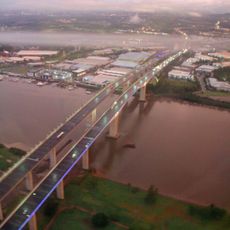
Sir Leo Hielscher Bridges
3.2 km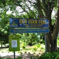
New Farm Park
4.1 km
Coorparoo State School
4.1 km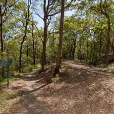
Whites Hill
4.3 km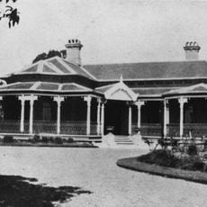
Eulalia, Norman Park
2.8 km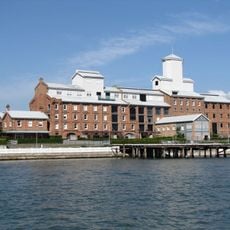
CSR Refinery, New Farm
4.1 km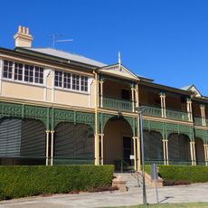
Queen Alexandra Home
3.9 km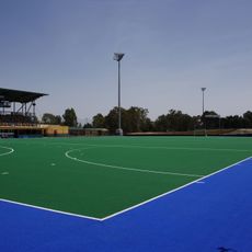
Queensland State Hockey Centre
3.3 km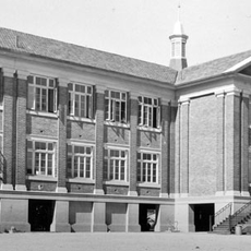
Bulimba State School
3.6 km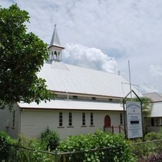
St John the Baptist Anglican Church, Bulimba
4 km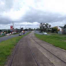
Old Cleveland Road Tramway Tracks
2.7 km
Bulimba Memorial Park
4.2 km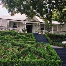
Amity, New Farm
4.2 km
Cannon Hill State School
1 km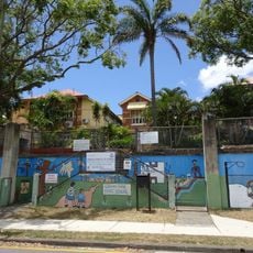
Norman Park State School
3 km
Hawthorne ferry wharf
4.1 km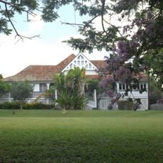
Kitawah
4.2 km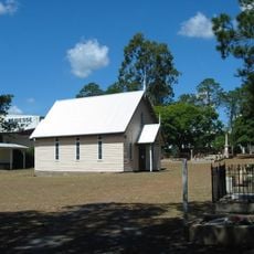
Christ Church, Tingalpa
1.9 km
Commonwealth Acetate of Lime Factory
2.4 km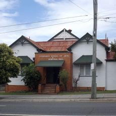
Coorparoo School of Arts and RSL Memorial Hall
4.1 km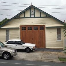
Balmoral Fire Station
2.5 km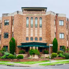
Coronet Flats
4.2 km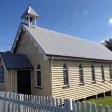
Hemmant Christian Community Church
4.2 km
Coorparoo Fire Station
4.2 km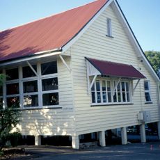
Hemmant State School
4.4 km
Australian Estates No. 2 Store
4.4 km
Morningside Air Raid Shelter
2.3 km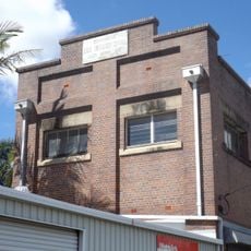
Brisbane City Council Tramway Substation No 9
3.7 kmAvis
Vous avez visité ce lieu ? Touchez les étoiles pour le noter et partager votre expérience ou vos photos avec la communauté ! Essayez maintenant ! Vous pouvez annuler à tout moment.
Trouvez des trésors cachés à chaque coin de rue !
Des petits cafés pittoresques aux points de vue planqués, fuyez la foule et dénichez les lieux qui vous ressemblent vraiment. Notre app vous facilite la vie : recherche vocale, filtres malins, itinéraires optimisés et bons plans partagés par des voyageurs du monde entier. Téléchargez vite pour vivre l'aventure en version mobile !

Une approche inédite de la découverte touristique❞
— Le Figaro
Tous les lieux qui valent la peine d'être explorés❞
— France Info
Une excursion sur mesure en quelques clics❞
— 20 Minutes