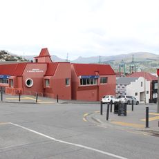
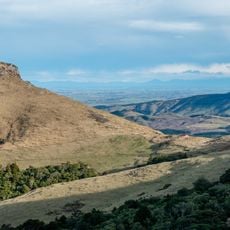
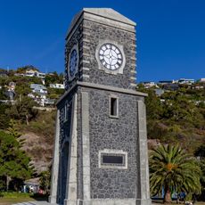
Christchurch City, territorial authority district of New Zealand
Emplacement : Canterbury Region
Capitale : Christchurch
Altitude : 78 m
Partage une frontière avec : Waimakariri District, Selwyn District
Coordonnées GPS : -43.64578,172.74586
Dernière mise à jour : 8 mars 2025 à 23:33
Christchurch Gondola
7.4 km
Lyttelton Timeball Station
4.6 km
Ōhinetahi
8.1 km
Mount Cavendish
6.7 km
Lyttelton Road Tunnel Administration Building
7.5 km
Lyttelton Borough Council Chambers
5.1 km
Mount Herbert
4.9 km
Canterbury Pioneer Women's Memorial
6.6 km
Lyttelton Graving Dock and Pump House
5.3 km
Bridle Path Historic Area
6.6 km
Coastal Cliffs Walkway
1.4 km
Holy Trinity Anglican Church
5.3 km
Lyttelton Police Station
5.1 km
Lyttelton Gaol Site
5.2 km
St Cuthbert's Church
8.3 km
Mount Herbert Reserve
4.8 km
Diamond Harbour Library
2.2 km
Lyttelton Port
4.8 km
Lyttelton Library building
5.1 km
Upham Memorial Clock Tower
5.2 km
Lyttelton Lighthouse
4.7 km
Lyttelton Library building
5.2 km
Sign Of The Packhorse Scenic Reserve
6.6 km
Looking for something that will last
2.7 km
Godley Head Battery
8.1 km
Scarborough Clock Tower
8.3 km
Bernard Hansen's Memorial
8.3 km
Lyttelton Library
5.2 kmVous avez visité ce lieu ? Touchez les étoiles pour le noter et partager votre expérience ou vos photos avec la communauté ! Essayez maintenant ! Vous pouvez annuler à tout moment.
Trouvez des trésors cachés à chaque coin de rue !
Des petits cafés pittoresques aux points de vue planqués, fuyez la foule et dénichez les lieux qui vous ressemblent vraiment. Notre app vous facilite la vie : recherche vocale, filtres malins, itinéraires optimisés et bons plans partagés par des voyageurs du monde entier. Téléchargez vite pour vivre l'aventure en version mobile !
Une approche inédite de la découverte touristique❞
— Le Figaro
Tous les lieux qui valent la peine d'être explorés❞
— France Info
Une excursion sur mesure en quelques clics❞
— 20 Minutes