Katanning, localité australienne
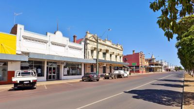
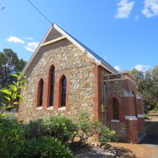
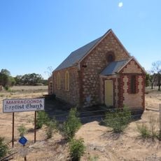
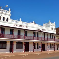
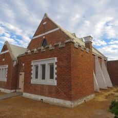
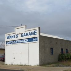
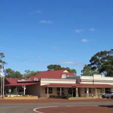
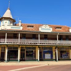
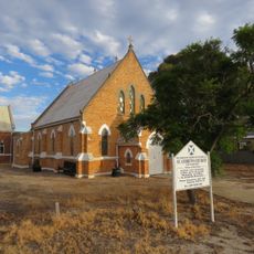
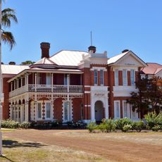
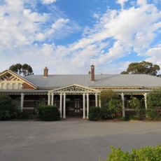
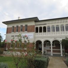
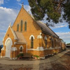
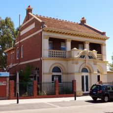
Katanning est une ville d'Australie-Occidentale qui s'étend sur des champs ouverts de blé et de pâturages, mélangeant des bâtiments historiques en brique avec des structures modernes le long de ses larges rues. Le paysage comprend des églises patrimoniales des années 1890, une ancienne gare ferroviaire, des magasins et des hôtels du début des années 1900, et des espaces communautaires qui reflètent la vie rurale de la fondation de la ville à aujourd'hui.
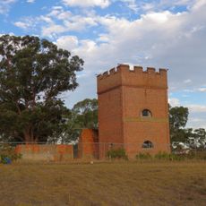
Katanning a grandi après l'arrivée du chemin de fer en 1889, s'établissant comme un centre de transformation des céréales et de commerce agricole. Les bâtiments clés des années 1890, dont le Premier Mill et plusieurs églises, marquent cette période d'expansion rapide, tandis que la ligne ferroviaire reliait la ville à Perth et aux régions environnantes pour le commerce et le mouvement des marchandises.
Katanning accueille des communautés variées qui se rassemblent tout au long de l'année pour partager leurs traditions et célébrer ensemble. Le Festival de l'Harmonie et les événements locaux présentent de la musique, de la nourriture et des spectacles qui reflètent le caractère multiculturel de la ville et unissent les habitants d'horizons différents.
La ville est facile à explorer à pied ou en voiture, avec des rues larges et un terrain plat qui facilitent la navigation. Le printemps et l'automne sont idéaux pour visiter, quand les températures sont douces et que des événements locaux comme le Festival de l'Harmonie ont lieu. La plupart des installations et des magasins sont situés au centre-ville et facilement accessibles.
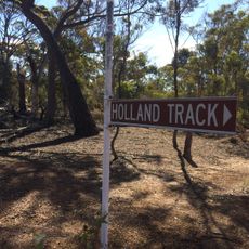
La ville a été appelée Kaat-Nyiny par le peuple Noongar local, un nom enraciné dans les histoires du Temps du Rêve sur un géant nommé Mulka dont les restes sont dispersés dans le paysage. Ces histoires et noms restent visibles dans la région, reliant les visiteurs à des milliers d'années d'histoire en ce lieu.
La communauté des voyageurs curieux
AroundUs rassemble des milliers de lieux sélectionnés, conseils locaux et pépites cachées, enrichis chaque jour par plus de 60,000 contributeurs à travers le monde.