
Záhorkov, abandoned village in the Czech Republic
Emplacement : Kájov
Coordonnées GPS : 48.80138,14.26666
Dernière mise à jour : 26 avril 2025 à 06:17
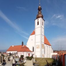
Church of the Assumption
1 km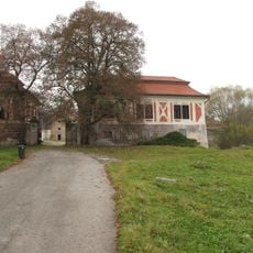
Kvítkův dvůr
2.2 km
Kalamandra
2.4 km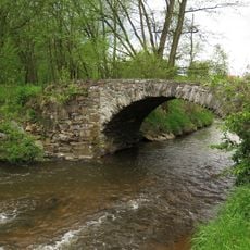
Stone road bridge
896 m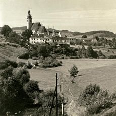
Boží muka Růžencové cesty u Polečnice
860 m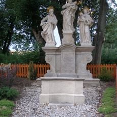
Sculpture of Saint Joseph, Saint Jude Thaddeus and Saint Anthony of Padua
1 km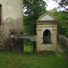
Part of former pilgrim trail to Kájov
934 m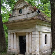
Chapel of the Virgin Mary
2.2 km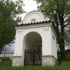
Kaple svaté Anny
1.5 km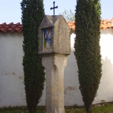
Column shrine
1 km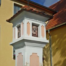
Brick column shrine
1.5 km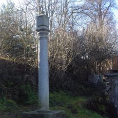
Column shrine, Rosary Path
966 m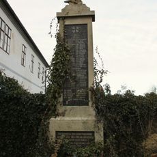
World War I memorial
1 km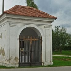
Chapel of Corpus Christi
1.5 km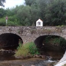
Most přes Polečnici v Novosedlech
1 km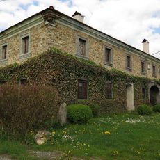
Usedlost čp. 20
1.3 km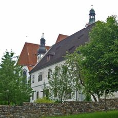
Rectory in Kájov
1 km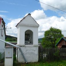
Výklenková kaplička
2.3 km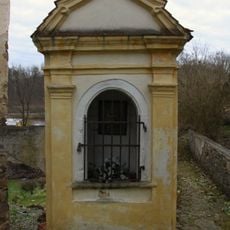
Chapel above the miraculous spring
980 m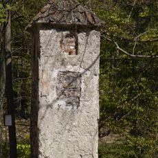
Column-shrine above Kladné
1.4 km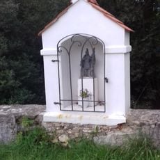
Chapel-shrine of Saint Florian on the bridge in Novosedly
1 km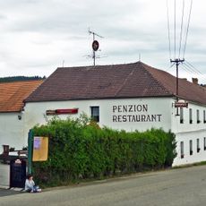
Usedlost čp. 3
1.1 km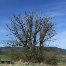
Křenovský dub
2.3 km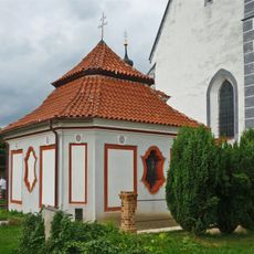
Hřbitovní kaple u kostela Nanebevzetí Panny Marie
1 km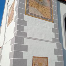
Sundial
1 km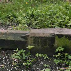
Boží muka Záhorkov-Kladné-Kájov
725 m
Chapel-shrine above Kvítkův Dvůr
2.1 km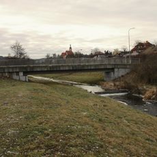
Lávka přes Polečnici v Kájově
1.3 kmVous avez visité ce lieu ? Touchez les étoiles pour le noter et partager votre expérience ou vos photos avec la communauté ! Essayez maintenant ! Vous pouvez annuler à tout moment.
Trouvez des trésors cachés à chaque coin de rue !
Des petits cafés pittoresques aux points de vue planqués, fuyez la foule et dénichez les lieux qui vous ressemblent vraiment. Notre app vous facilite la vie : recherche vocale, filtres malins, itinéraires optimisés et bons plans partagés par des voyageurs du monde entier. Téléchargez vite pour vivre l'aventure en version mobile !

Une approche inédite de la découverte touristique❞
— Le Figaro
Tous les lieux qui valent la peine d'être explorés❞
— France Info
Une excursion sur mesure en quelques clics❞
— 20 Minutes