
Loch of Ayre, broch at N end of,St Mary's, architectural structure in Orkney Islands, Scotland, UK
Emplacement : Orkney Islands
Emplacement : Holm
Coordonnées GPS : 58.89635,-2.92084
Dernière mise à jour : 4 mars 2025 à 23:26

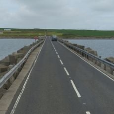
Churchill Barriers
1.4 km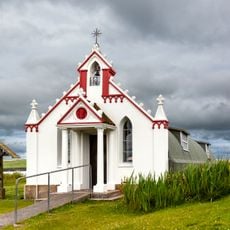
Italian Chapel
1.9 km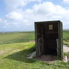
Mine Howe
6.1 km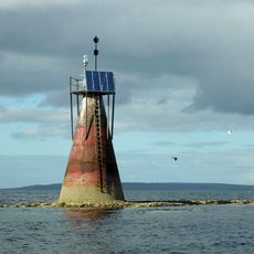
Nevi Skerry
8.1 km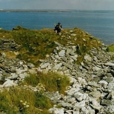
East Broch of Burray
3.2 km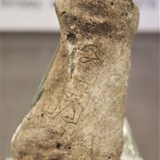
Bu sands pictish figure
4.2 km
Burray Bone Lair
4.8 km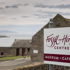
Orkney Fossil and Vintage Centre
4.3 km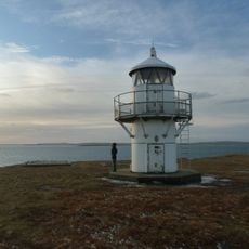
Rose Ness Lighthouse, Orkney
5.8 km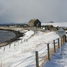
Holm, St Nicholas' Church
4.1 km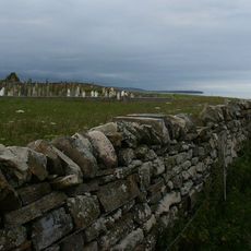
Burray, Southtown, St Lawrence's Church
5.4 km
Lamb Holm, Italian Chapel, Statue
1.9 km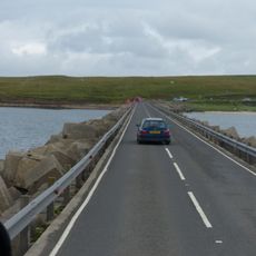
Churchill Barrier No. 3
2.9 km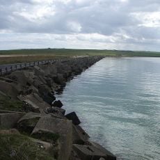
Churchill Barrier No. 4
6.2 km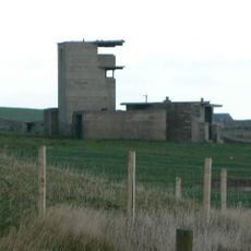
Holm Battery, coast artillery battery 195m SW of East Breckan
2.4 km
Burray, Bu Of Burray
4.6 km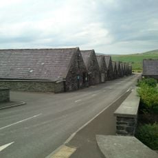
Kirkwall, Holm Road, Highland Park Distillery
8.3 km
Howa
2.1 km
Dingy's Howe,broch,Upper Sanday
7.9 km
Berstane, Dovecot
8.6 km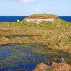
Burray Ness, anti-aircraft battery (WW1), Burray
6 km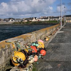
St Mary's, Pier
523 m
Braebuster
8.6 km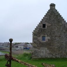
St Mary's, Storehouse
686 m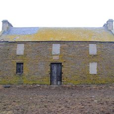
Mirkady Point, Herring-curing Station
8.7 km
Wideford
7.1 km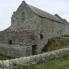
Tankerness Mill
8.4 km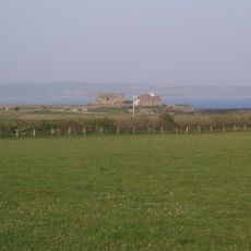
Tankerness, Old St Andrews Manse, Ancilliary Building
8.7 kmAvis
Vous avez visité ce lieu ? Touchez les étoiles pour le noter et partager votre expérience ou vos photos avec la communauté ! Essayez maintenant ! Vous pouvez annuler à tout moment.
Trouvez des trésors cachés à chaque coin de rue !
Des petits cafés pittoresques aux points de vue planqués, fuyez la foule et dénichez les lieux qui vous ressemblent vraiment. Notre app vous facilite la vie : recherche vocale, filtres malins, itinéraires optimisés et bons plans partagés par des voyageurs du monde entier. Téléchargez vite pour vivre l'aventure en version mobile !

Une approche inédite de la découverte touristique❞
— Le Figaro
Tous les lieux qui valent la peine d'être explorés❞
— France Info
Une excursion sur mesure en quelques clics❞
— 20 Minutes