
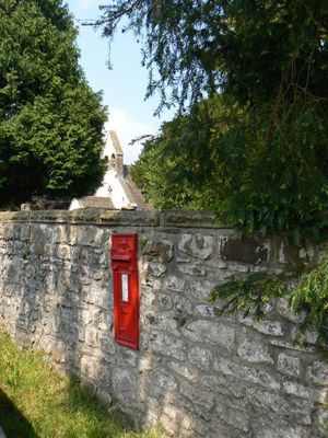
West wall to churchyard of Church of St Illtyd with stile, gatepiers and postbox
West wall to churchyard of Church of St Illtyd with stile, gatepiers and postbox, Grade II listed building in Monmouthshire. The churchyard wall along the east side of Old Abergavenny Road
Emplacement : Goetre Fawr
Altitude : 108,3 m
Coordonnées GPS : 51.72511,-3.00746
Dernière mise à jour : 6 mars 2025 à 08:21
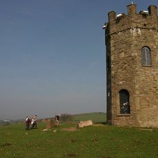
The Folly Tower
1.4 km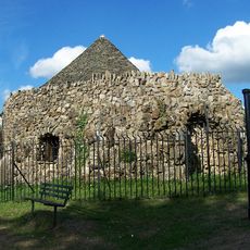
Shell Grotto
2.7 km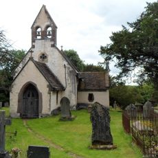
Church of St Illtyd
29 m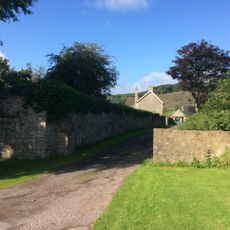
Ty-cooke
1.9 km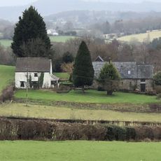
Persondy
446 m
Ty-asch
578 m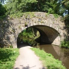
Bridge No. 66
785 m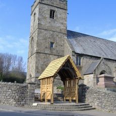
Church of St. Cadoc
2.6 km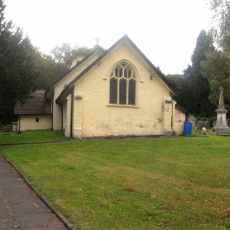
Church Of St Michael And All Angels
2.3 km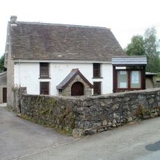
Penygarn Baptist Chapel
2.7 km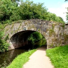
Bridge No. 68
1 km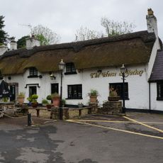
The Horse and Jockey P H
2.3 km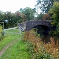
Bridge No. 74
2.6 km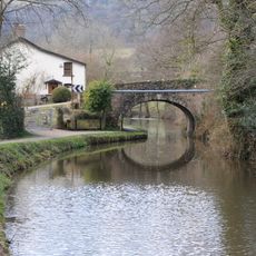
Bridge No. 65
778 m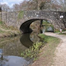
Bridge 57, Monmouthshire and Brecon Canal
1.7 km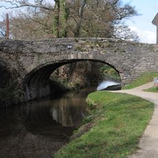
Bridge 60, Monmouthshire and Brecon Canal
747 m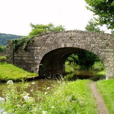
Bridge No. 71
1.9 km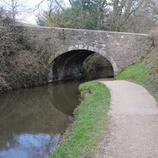
Bridge No. 63
496 m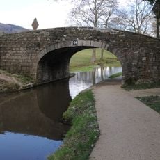
Bridge No. 64
761 m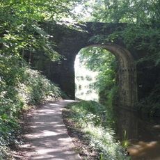
Bridge No. 62
151 m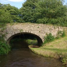
Bridge No. 67
720 m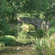
Bridge No. 70
1.6 km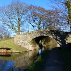
Bridge No. 69
1.4 km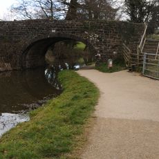
Bridge 56, Monmouthshire and Brecon Canal
2.4 km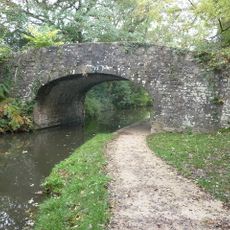
Bridge No. 73
2.3 km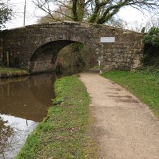
Bridge No. 72
2 km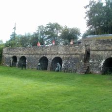
Three Limekilns at Goytre Wharf
3 km
Rustic Lodge in American Gardens
2.2 kmAvis
Vous avez visité ce lieu ? Touchez les étoiles pour le noter et partager votre expérience ou vos photos avec la communauté ! Essayez maintenant ! Vous pouvez annuler à tout moment.
Trouvez des trésors cachés à chaque coin de rue !
Des petits cafés pittoresques aux points de vue planqués, fuyez la foule et dénichez les lieux qui vous ressemblent vraiment. Notre app vous facilite la vie : recherche vocale, filtres malins, itinéraires optimisés et bons plans partagés par des voyageurs du monde entier. Téléchargez vite pour vivre l'aventure en version mobile !

Une approche inédite de la découverte touristique❞
— Le Figaro
Tous les lieux qui valent la peine d'être explorés❞
— France Info
Une excursion sur mesure en quelques clics❞
— 20 Minutes