
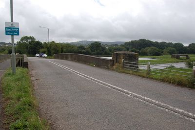
Bow Bridge, pont situé au Royaume-Uni
Emplacement : Axminster
Coordonnées GPS : 50.77908,-3.00821
Dernière mise à jour : 5 mars 2025 à 15:36
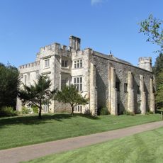
Old Shute House
3.8 km
New Shute House
3.6 km
Loughwood Meeting House
3.9 km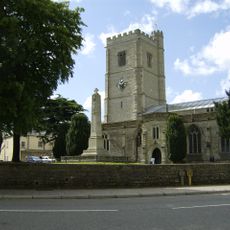
Church of St Mary
687 m
Axminster Museum
723 m
St Mary at the Cross, Whitford
3.8 km
Church of St Giles
1.7 km
Church of St Michael
3.9 km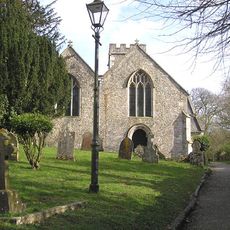
Church of St Michael
3.8 km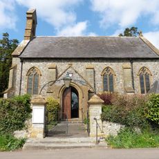
Church of All Saints
3.3 km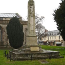
War Memorial in Churchyard North of St Mary's Church
703 m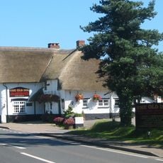
Old Inn
1.7 km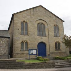
United Reformed Church
931 m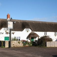
The New Inn
2.3 km
Kilmington War Memorial
2.1 km
Rose Cottage
1.9 km
Holy Cross
2.2 km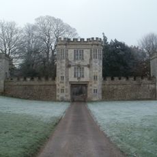
Gate House At Old Shute House Including Flanking Walls And Pavilions
3.9 km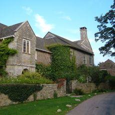
Weycroft Manor And Weycroft Well House
2.4 km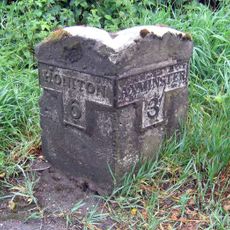
Milestone, 200m S of Lobelia House
3.9 km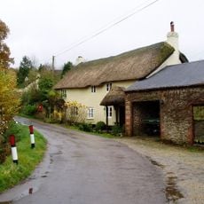
Rose Farmhouse And Grove Lea
2 km
4, 5 And 6, The Hill
2.3 km
Beagle's Row
3.9 km
Ashes Farmhouse
1.7 km
The Beacon on Shute Hill, 200m north east of Rowlands
3.3 km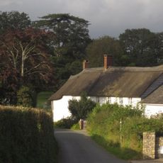
Old Vealhays Including Outbuilding Adjoining North
1.7 km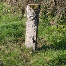
Milestone, Chard Road, jct with lane to Waggs Plot, N of Coaxdon Hall, Chardstock
3.7 km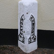
Milestone, Axminster Road, by Mountfield Lodge, on the old section of road through the village
3.8 kmAvis
Vous avez visité ce lieu ? Touchez les étoiles pour le noter et partager votre expérience ou vos photos avec la communauté ! Essayez maintenant ! Vous pouvez annuler à tout moment.
Trouvez des trésors cachés à chaque coin de rue !
Des petits cafés pittoresques aux points de vue planqués, fuyez la foule et dénichez les lieux qui vous ressemblent vraiment. Notre app vous facilite la vie : recherche vocale, filtres malins, itinéraires optimisés et bons plans partagés par des voyageurs du monde entier. Téléchargez vite pour vivre l'aventure en version mobile !

Une approche inédite de la découverte touristique❞
— Le Figaro
Tous les lieux qui valent la peine d'être explorés❞
— France Info
Une excursion sur mesure en quelques clics❞
— 20 Minutes