
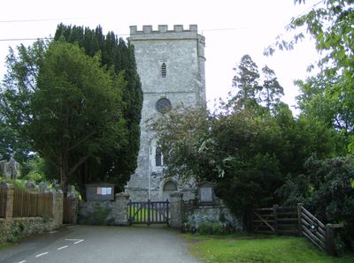
Church of St Michael, église britannique
Emplacement : Musbury
Création : 15e siècle
Coordonnées GPS : 50.74610,-3.02805
Dernière mise à jour : 10 mars 2025 à 03:57
Colcombe Castle
2.6 km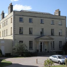
New Shute House
3.1 km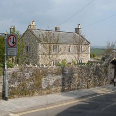
Great House
3 km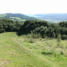
Musbury Castle
908 m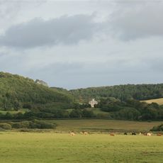
Stedcombe House
2.8 km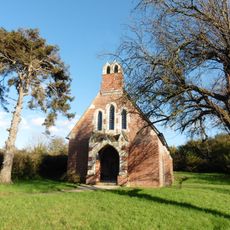
St Mary at the Cross, Whitford
2 km
Hawkesdown Hill
3.3 km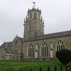
Church of St Andrew, Colyton
3 km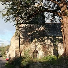
Church of St Mary
2.6 km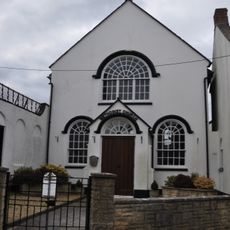
Methodist Church
3.2 km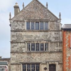
Old Church House
3 km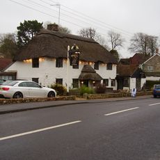
Wheelwright Inn
3.1 km
Pear Tree Cottage
2.9 km
Rose Cottage
3 km
Colyton Library
3 km
Cob Cottage Little Thatch
413 m
The Foundry
3 km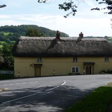
Ship House
3 km
Higher Bruckland Farmhouse Including Adjoining Outbuilding To South East
1.5 km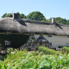
Musbury Farm House
78 m
Woodman's Stoop Including Adjoining Barn To South West
3.4 km
6, Vicarage Street
3 km
Lower Farmhouse
2 km
Rose Farmhouse And Grove Lea
3 km
The Beacon on Shute Hill, 200m north east of Rowlands
3.4 km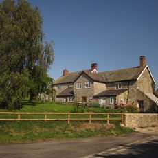
Lower Bruckland Farm House Including Outbuilding Adjoining North East
1.6 km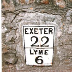
Milestone, Colyford, on Swan Hill, opp. Memorial Hall
3.4 km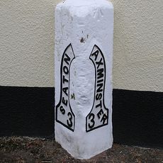
Milestone, Axminster Road, by Mountfield Lodge, on the old section of road through the village
245 mVous avez visité ce lieu ? Touchez les étoiles pour le noter et partager votre expérience ou vos photos avec la communauté ! Essayez maintenant ! Vous pouvez annuler à tout moment.
Trouvez des trésors cachés à chaque coin de rue !
Des petits cafés pittoresques aux points de vue planqués, fuyez la foule et dénichez les lieux qui vous ressemblent vraiment. Notre app vous facilite la vie : recherche vocale, filtres malins, itinéraires optimisés et bons plans partagés par des voyageurs du monde entier. Téléchargez vite pour vivre l'aventure en version mobile !

Une approche inédite de la découverte touristique❞
— Le Figaro
Tous les lieux qui valent la peine d'être explorés❞
— France Info
Une excursion sur mesure en quelques clics❞
— 20 Minutes