
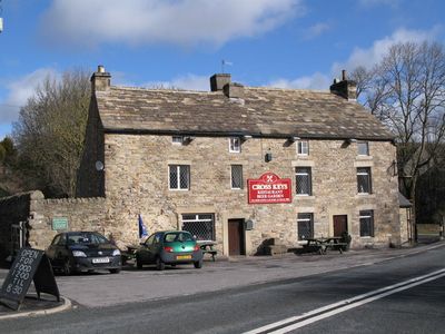
The Cross Keys Public House, pub in Stanhope, County Durham, UK
Emplacement : Stanhope
Coordonnées GPS : 54.74364,-2.07596
Dernière mise à jour : 3 mars 2025 à 03:25
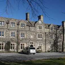
Horsley Hall
1.4 km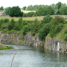
Greenfoot Quarry
3.1 km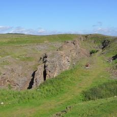
West Rigg Open Cutting
4.1 km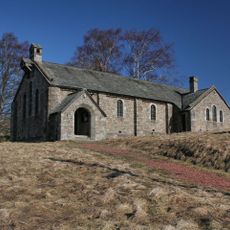
Church of St John the Evangelist
3.7 km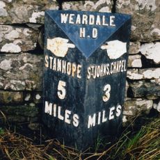
Milepost About 120 Metres East Of Park House Farmhouse
2.7 km
Former Inn
3.7 km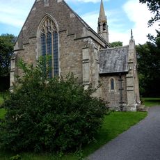
All Saints
162 m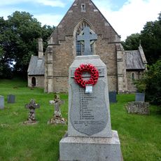
Eastgate War Memorial
145 m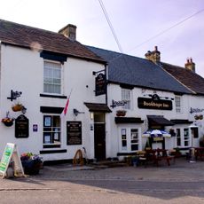
The Rookhope Inn
4.3 km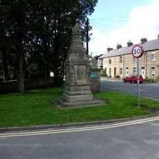
Memorial Fountain At Junction With Road To Ford
4 km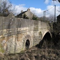
Bridge Over Rookhope Burn
37 m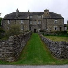
Stanhope Hall
3.8 km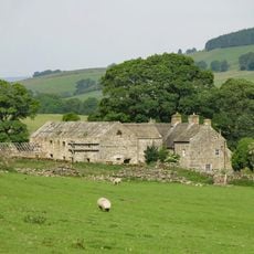
Ludwell Farmhouse
1.1 km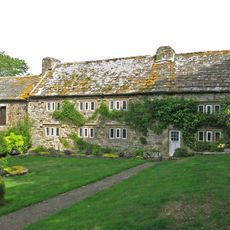
Westernhope Burn East Farmhouse
1.9 km
Barn Range South Of Ludwell Farmhouse
1.1 km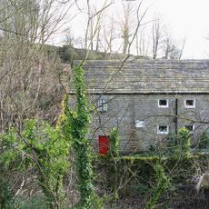
Eastgate Mill
188 m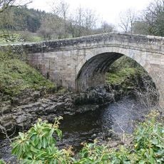
Stanhope Bridge
3.3 km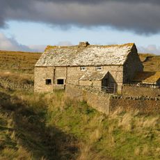
High Smailsburn Farmhouse
3.2 km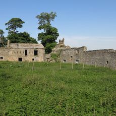
Shield Ash Farmhouse
3.5 km
Unthank Mill, Houses And Cow House Attached
4.2 km
Former House And Byre, With Loose Boxes, South Of Ludwell Farmhouse Barn
1.1 km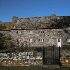
Westernhopeburn West Farmhouse and adjoining outbuilding
1.9 km
Unthank Hall
3.9 km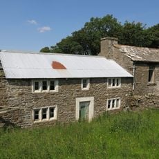
Former Farmhouse To West Of Snowhope Close Farmhouse
1.9 km
Farmhouse On North Bank Of Stotfield Burn, With Attached Outbuilding
3.8 km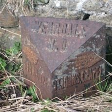
200m W of jct B6275
3.6 km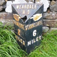
Hare Law
2.2 km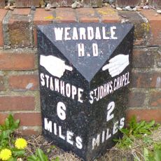
Westgate, Front Street nr jct with St Andrews Place, E end village
4.2 kmAvis
Vous avez visité ce lieu ? Touchez les étoiles pour le noter et partager votre expérience ou vos photos avec la communauté ! Essayez maintenant ! Vous pouvez annuler à tout moment.
Trouvez des trésors cachés à chaque coin de rue !
Des petits cafés pittoresques aux points de vue planqués, fuyez la foule et dénichez les lieux qui vous ressemblent vraiment. Notre app vous facilite la vie : recherche vocale, filtres malins, itinéraires optimisés et bons plans partagés par des voyageurs du monde entier. Téléchargez vite pour vivre l'aventure en version mobile !

Une approche inédite de la découverte touristique❞
— Le Figaro
Tous les lieux qui valent la peine d'être explorés❞
— France Info
Une excursion sur mesure en quelques clics❞
— 20 Minutes