
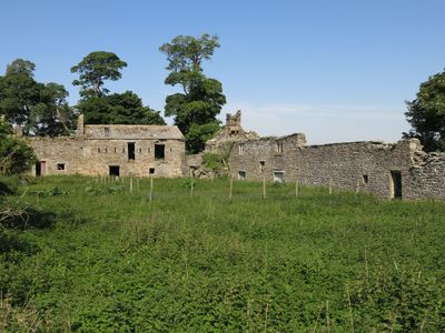
Shield Ash Farmhouse, farmhouse in Stanhope, County Durham, UK
Emplacement : Stanhope
Coordonnées GPS : 54.73261,-2.02449
Dernière mise à jour : 11 mars 2025 à 12:18
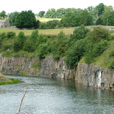
Greenfoot Quarry
1.8 km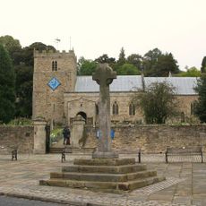
Church of St Thomas
2.1 km
Phoenix Inn
2 km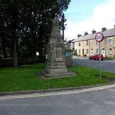
Memorial Fountain At Junction With Road To Ford
1.9 km
Stanhope Castle
2 km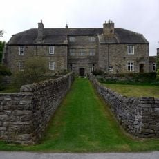
Stanhope Hall
1.9 km
Co-Operative Stores
2 km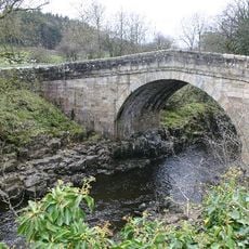
Stanhope Bridge
1.6 km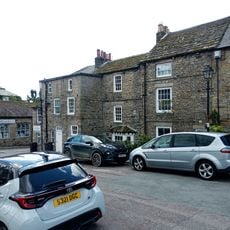
Number 1 And Houses Adjoining In Butts Head, The Butts
2 km
Numbers 1 - 4 Consecutive And Stables Attached
1.9 km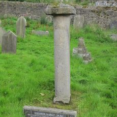
Old Stanhope Market Cross
2 km
The Rectory
2 km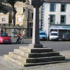
Stanhope Market Cross
2 km
Coach House North Of The Rectory
2 km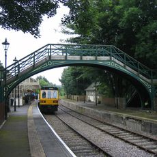
Footbridge Over Railway Line
1.8 km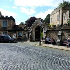
Castle Wall Including Market Lodge, Gateway And Bus Shelter
2 km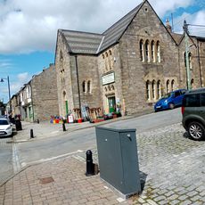
Trustees Savings Bank
2 km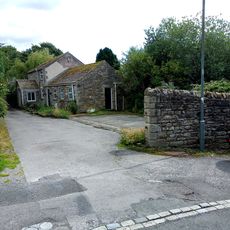
Outbuildings To North Of Phoenix Inn
2 km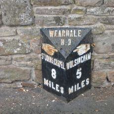
Milepost About 15 Metres East Of Junction To Road To Bondisle Way
2 km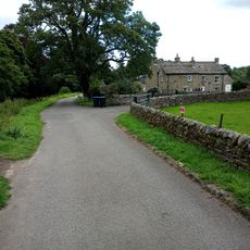
Unthank Mill, Houses And Cow House Attached
1.8 km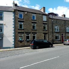
Premises Formerly Occupied By J And G Archibald Limited
2 km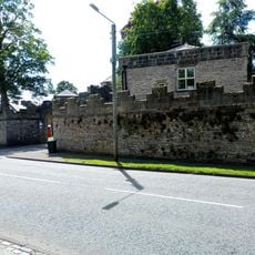
North Lodge And Wall To Stanhope Castle (Castle Lodge)
2 km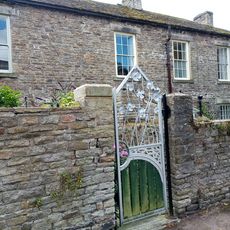
The Curatage And House Adjoining On West
2 km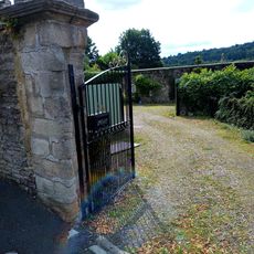
Wall of Former Rectory Garden, Now Stanhope Caravan Site
2 km
Market cross, 35m and 50m south of St Thomas' Church
2 km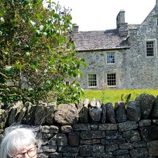
Unthank Hall
1.7 km
Iley Tomb Circa 28 Metres South Of Church Of St Thomas
2.1 km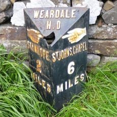
Hare Law
1.8 kmVous avez visité ce lieu ? Touchez les étoiles pour le noter et partager votre expérience ou vos photos avec la communauté ! Essayez maintenant ! Vous pouvez annuler à tout moment.
Trouvez des trésors cachés à chaque coin de rue !
Des petits cafés pittoresques aux points de vue planqués, fuyez la foule et dénichez les lieux qui vous ressemblent vraiment. Notre app vous facilite la vie : recherche vocale, filtres malins, itinéraires optimisés et bons plans partagés par des voyageurs du monde entier. Téléchargez vite pour vivre l'aventure en version mobile !

Une approche inédite de la découverte touristique❞
— Le Figaro
Tous les lieux qui valent la peine d'être explorés❞
— France Info
Une excursion sur mesure en quelques clics❞
— 20 Minutes