
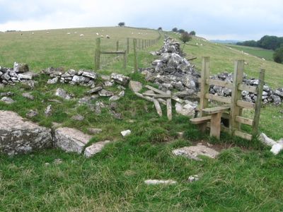
Green Low chambered tomb, chambered tomb in Aldwark, Derbyshire, England, UK
Emplacement : Aldwark
Coordonnées GPS : 53.11900,-1.65550
Dernière mise à jour : 6 mars 2025 à 14:44

Minninglow
2.3 km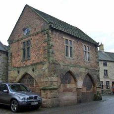
Winster Market House
2.7 km
Duke of York Inn
3.1 km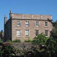
Winster Hall
2.7 km
St John the Baptist's Church, Winster
2.6 km
All Saints' Church, Elton
3.1 km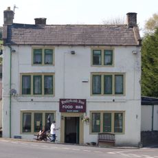
Holly Bush Inn
1.3 km
Harboro' Cave
3 km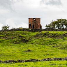
World War Two Observation Post
2.8 km
Holmelea
2.7 km
The Youth Hostel
3 km
Blackstone's Low bowl barrow
3.4 km
Bank Top Farmhouse
2.3 km
Barker Barn
2.3 km
Toll Bar Cowshed
1.2 km
Railway Bridge
2.4 km
Roystone Grange Farmhouse and barn
3.4 km
The Old Shoulder Of Mutton Inn
2.6 km
Minninglow Embankment and bridge, High Peak Trail
3.4 km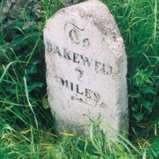
Milepost 400 Yards South West Of Winstermoor Farm
1.5 km
Milepost 300 Yards South Of The Junction Of New Road And Chadwick Hill
2.7 km
Holmedene Farmhouse
3 km
Stables To The West Of The Duke Of York Inn
3.1 km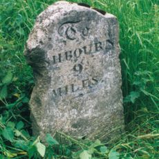
Milepost 300 Yards North Of The Holly Bush Inn
1.3 km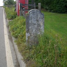
Milestone
2.3 km
Homestead Farmhouse And Homestead Cottage
3 km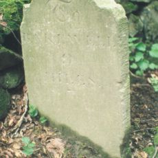
Milestone, between Grangemill & Longcliffe
1.4 km
Milestone, a mile SW of Longcliffe, in chicane in road
3.3 kmAvis
Vous avez visité ce lieu ? Touchez les étoiles pour le noter et partager votre expérience ou vos photos avec la communauté ! Essayez maintenant ! Vous pouvez annuler à tout moment.
Trouvez des trésors cachés à chaque coin de rue !
Des petits cafés pittoresques aux points de vue planqués, fuyez la foule et dénichez les lieux qui vous ressemblent vraiment. Notre app vous facilite la vie : recherche vocale, filtres malins, itinéraires optimisés et bons plans partagés par des voyageurs du monde entier. Téléchargez vite pour vivre l'aventure en version mobile !

Une approche inédite de la découverte touristique❞
— Le Figaro
Tous les lieux qui valent la peine d'être explorés❞
— France Info
Une excursion sur mesure en quelques clics❞
— 20 Minutes