
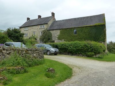
Roystone Grange Farmhouse and barn, Grade II listed farmhouse in Ballidon, Derbyshire Dales, Derbyshire, UK
Emplacement : Ballidon
Coordonnées GPS : 53.10778,-1.70206
Dernière mise à jour : 5 mars 2025 à 01:25

Minninglow
1 km
Parwich Hall
2.6 km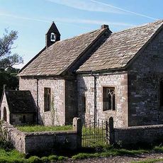
All Saints Church, Ballidon
2.4 km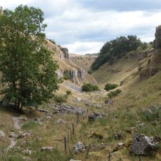
Derbyshire Dales National Nature Reserve
3.6 km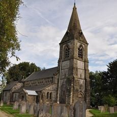
Church of St Peter
2.7 km
Green Low chambered tomb
3.4 km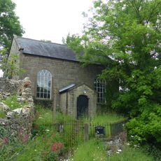
Methodist Chapel and attached wall and railings
2.8 km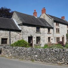
Church Cottage and Church Gate House
2.7 km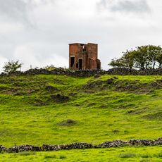
World War Two Observation Post
3.1 km
Parwich Lees
3.6 km
Blackstone's Low bowl barrow
1.7 km
Tilcon Offices, Ballidon Quarry
1.6 km
Barker Barn
3.7 km
Railway Bridge
2.7 km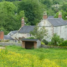
Flatts Stile Farmhouse
2.8 km
Ballidonhall Farmhouse
2.1 km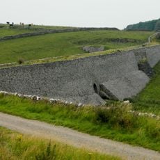
Minninglow Embankment and bridge, High Peak Trail
1.5 km
Oldfields Farmhouse
2.1 km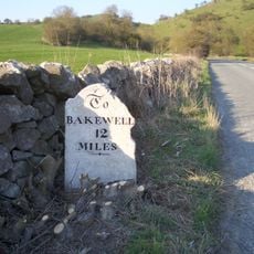
Milestone Half Mile North East Of White Meadow At Ngr 207 539
2.9 km
Barn to the south east of Oldfields Farmhouse
2.2 km
Cowclose Farmhouse
2.2 km
Tilcon Laboratory and outbuilding
1.8 km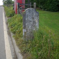
Milestone
2.8 km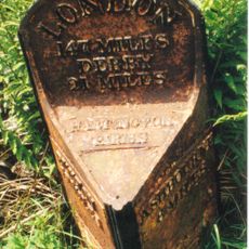
Milepost 14 Metres South Of Mount Pleasant Farm At Ngr Sk 167 582
3.7 km
Milestone, NW of Upperhouse Farm, SE of Newhaven Crossing
3.2 km
Aleck Low bowl barrow
3.7 km
Milestone, between Grangemill & Longcliffe
3.5 km
Milestone, a mile SW of Longcliffe, in chicane in road
2.1 kmVous avez visité ce lieu ? Touchez les étoiles pour le noter et partager votre expérience ou vos photos avec la communauté ! Essayez maintenant ! Vous pouvez annuler à tout moment.
Trouvez des trésors cachés à chaque coin de rue !
Des petits cafés pittoresques aux points de vue planqués, fuyez la foule et dénichez les lieux qui vous ressemblent vraiment. Notre app vous facilite la vie : recherche vocale, filtres malins, itinéraires optimisés et bons plans partagés par des voyageurs du monde entier. Téléchargez vite pour vivre l'aventure en version mobile !

Une approche inédite de la découverte touristique❞
— Le Figaro
Tous les lieux qui valent la peine d'être explorés❞
— France Info
Une excursion sur mesure en quelques clics❞
— 20 Minutes