
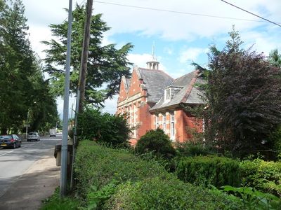
Former County Intermediate School, Grade II listed building in Powys. On the NE side of the A490, just to the SE of the town centre
Emplacement : Llanfyllin
Altitude : 127 m
Coordonnées GPS : 52.76316,-3.26754
Dernière mise à jour : 29 mars 2025 à 11:48
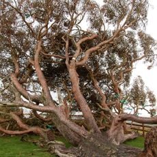
Lonely Tree of Llanfyllin
1.1 km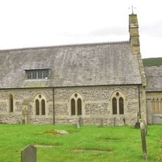
St Cedwyn's Church
6.6 km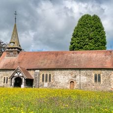
St Garmon's Church
4.5 km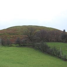
Llwyn Bryn Dinas
6.2 km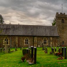
St Tysilio and St Mary's Church
6 km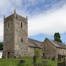
Church Of St Dogfan
7.2 km
Hen Capel John Hughes
7.1 km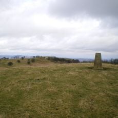
Mynydd y Glyn
3.2 km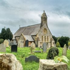
Christ Church
3.7 km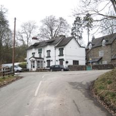
The Green Inn
7.1 km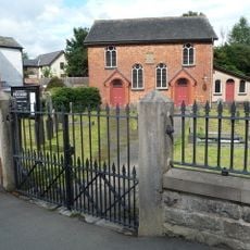
Pen-Dref Welsh Independent Chapel
237 m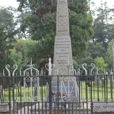
Parish War Memorial at St Dogfan's Church with surrounding railed enclosure.
7.2 km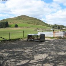
Moel Llaethbwlch
4 km
Llanfyllin Library
260 m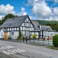
Plas-yn-dinas Public House
4.5 km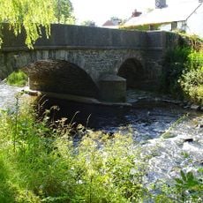
Llanfechain Bridge
4.4 km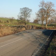
Pont Maesmochnant
5.7 km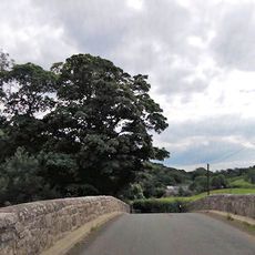
Pont Glantanat Uchaf
5.3 km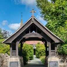
St Garmon's Church Lychgate
4.5 km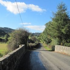
Pont Llangedwyn
6.2 km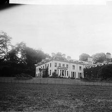
Llwyn
378 m
Pont Ysgawrhyd
6.1 km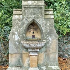
Drinking Fountain, A 490 (Ne Side), Bwlch-Y-Cibau
3.7 km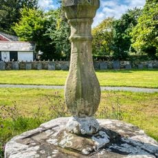
Sundial in St Garmon's Churchyard
4.5 km
Friends Meeting House
7.1 km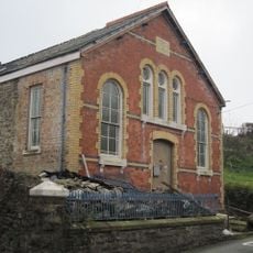
Seion Welsh Baptist Church
464 m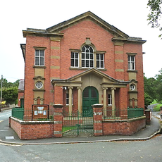
Tabernacle Methodist Chapel
561 m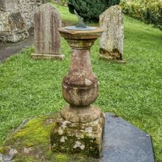
Sundial In The Churchyard to Christ Church Parish Church, A490 (N Side), Bwlch-Y-Cibau
3.7 kmAvis
Vous avez visité ce lieu ? Touchez les étoiles pour le noter et partager votre expérience ou vos photos avec la communauté ! Essayez maintenant ! Vous pouvez annuler à tout moment.
Trouvez des trésors cachés à chaque coin de rue !
Des petits cafés pittoresques aux points de vue planqués, fuyez la foule et dénichez les lieux qui vous ressemblent vraiment. Notre app vous facilite la vie : recherche vocale, filtres malins, itinéraires optimisés et bons plans partagés par des voyageurs du monde entier. Téléchargez vite pour vivre l'aventure en version mobile !

Une approche inédite de la découverte touristique❞
— Le Figaro
Tous les lieux qui valent la peine d'être explorés❞
— France Info
Une excursion sur mesure en quelques clics❞
— 20 Minutes