
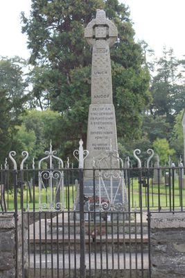
Parish War Memorial at St Dogfan's Church with surrounding railed enclosure.
Parish War Memorial at St Dogfan's Church with surrounding railed enclosure., Grade II listed building in Powys. In a railed enclosure at the north-east side of the churchyard, facing the village street
Emplacement : Llanrhaeadr-ym-Mochnant
Altitude : 150,2 m
Coordonnées GPS : 52.82478,-3.30107
Dernière mise à jour : 12 mars 2025 à 05:53
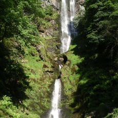
Pistyll Rhaeadr
6.2 km
Godor
5.6 km
Glas Hirfryn
4.9 km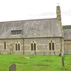
St Cedwyn's Church
6.7 km
Gyrn Moelfre
6.9 km
Mynydd Tarw
6.5 km
Llwyn Bryn Dinas
4.9 km
Maen Gwynedd
3.4 km
Capel Seion
203 m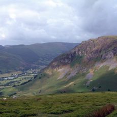
Craig Rhiwarth
6.7 km
Mynydd Mawr
2.7 km
Moel Hen-fache
2.6 km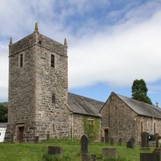
Church Of St Dogfan
40 m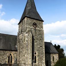
Parish Church of St Thomas
4.1 km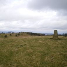
Mynydd y Glyn
4.8 km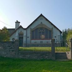
Capel Hermon
3.8 km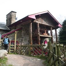
Tan y Pistyll Restaurant
6.1 km
Wynnstay Arms
27 m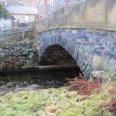
Llangynog Bridge
7 km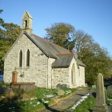
St Garmon's Church
2.2 km
Railway Inn
4 km
Pont Maesmochnant
2.3 km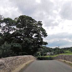
Pont Glantanat Uchaf
2.1 km
Pont Llangedwyn
6.4 km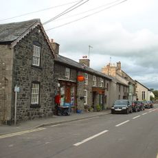
Eiranfa with Post Office
4 km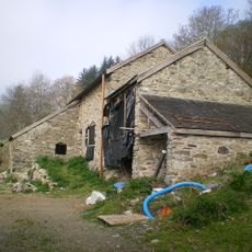
Barn Range at Cwmwr-uchaf
6.1 km
Seion Welsh Baptist Church
6.9 km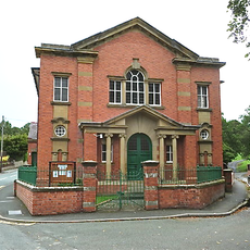
Tabernacle Methodist Chapel
6.7 kmVous avez visité ce lieu ? Touchez les étoiles pour le noter et partager votre expérience ou vos photos avec la communauté ! Essayez maintenant ! Vous pouvez annuler à tout moment.
Trouvez des trésors cachés à chaque coin de rue !
Des petits cafés pittoresques aux points de vue planqués, fuyez la foule et dénichez les lieux qui vous ressemblent vraiment. Notre app vous facilite la vie : recherche vocale, filtres malins, itinéraires optimisés et bons plans partagés par des voyageurs du monde entier. Téléchargez vite pour vivre l'aventure en version mobile !

Une approche inédite de la découverte touristique❞
— Le Figaro
Tous les lieux qui valent la peine d'être explorés❞
— France Info
Une excursion sur mesure en quelques clics❞
— 20 Minutes