
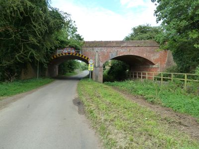
Disused Railway Bridge, railway bridge in Marston Trussell, Daventry, Northamptonshire, UK
Emplacement : Marston Trussell
Coordonnées GPS : 52.47612,-0.96352
Dernière mise à jour : 3 mars 2025 à 22:03
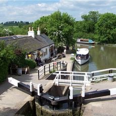
Foxton Locks
3 km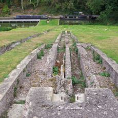
Inclined plane immediately east of Foxton Locks
2.9 km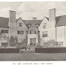
Papillon Hall, Lubenham
1.6 km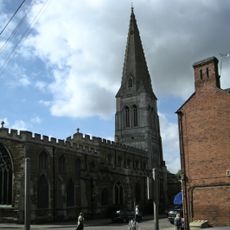
Church of St Dionysius
2.9 km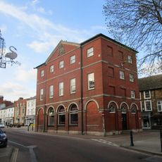
Market Harborough Town Hall
2.8 km
St Mary in Arden Church
3.6 km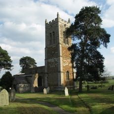
Church of St Nicholas
1.5 km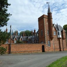
The Tower House, Lubenham
171 m
Church of St John the Baptist
2.5 km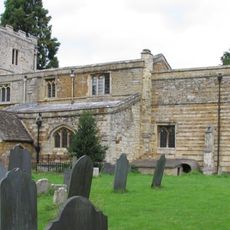
Church of All Saints
103 m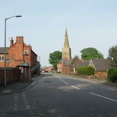
Church of All Saints, Theddingworth
3.9 km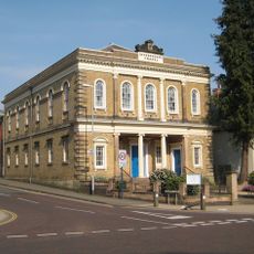
United Reformed Church
2.8 km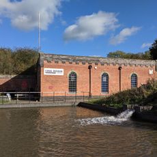
Foxton Canal Museum
2.9 km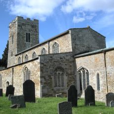
Church of St Andrew
2.8 km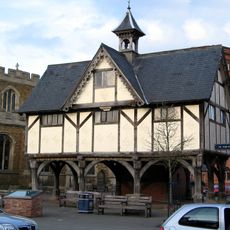
Old Grammar School
2.9 km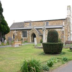
Church of St Nicholas
3.5 km
Harborough Museum
2.9 km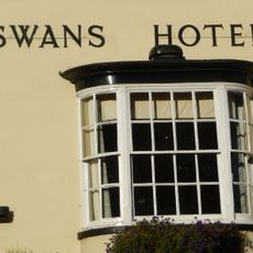
The Three Swans Hotel
2.8 km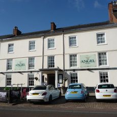
The Angel Hotel
2.7 km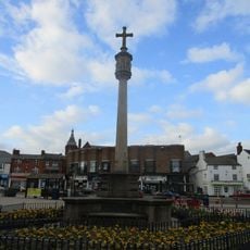
1914 To 1918 War Memorial
2.9 km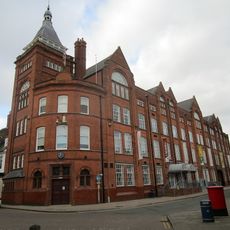
Symingtons Factory
2.9 km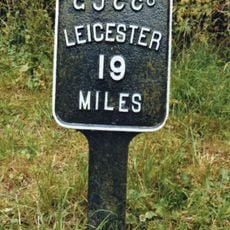
Mileplate Circa 56 Metres West Of Bridge No. 59 Grand Union Canal
2.3 km
40, The Square
2.9 km
5, The Square
3 km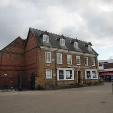
Welland House
2.9 km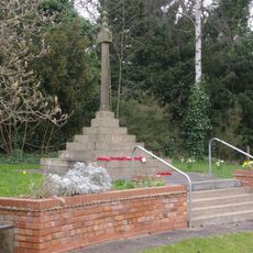
Lubenham War Memorial
470 m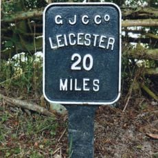
Mileplate Immediately West Of Bridge Number 55, Grand Union Canal
3.4 km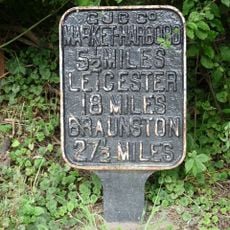
Milepost Circa 47 Metres East Of Bridge Number 62, Grand Union Canal
3.1 kmAvis
Vous avez visité ce lieu ? Touchez les étoiles pour le noter et partager votre expérience ou vos photos avec la communauté ! Essayez maintenant ! Vous pouvez annuler à tout moment.
Trouvez des trésors cachés à chaque coin de rue !
Des petits cafés pittoresques aux points de vue planqués, fuyez la foule et dénichez les lieux qui vous ressemblent vraiment. Notre app vous facilite la vie : recherche vocale, filtres malins, itinéraires optimisés et bons plans partagés par des voyageurs du monde entier. Téléchargez vite pour vivre l'aventure en version mobile !

Une approche inédite de la découverte touristique❞
— Le Figaro
Tous les lieux qui valent la peine d'être explorés❞
— France Info
Une excursion sur mesure en quelques clics❞
— 20 Minutes