
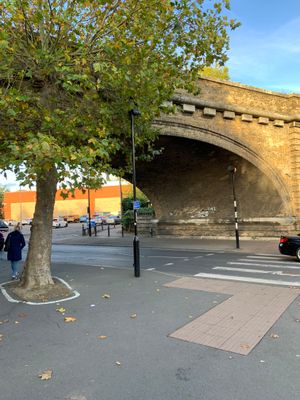
Railway bridge, railway bridge, Fornham Road, Bury St. Edmunds, Suffolk
Emplacement : Bury St Edmunds
Création : 1846
Coordonnées GPS : 52.25355,0.71445
Dernière mise à jour : 25 avril 2025 à 00:19
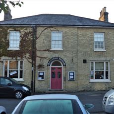
St Edmunds Head Public House And Stable Block
439 m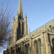
Church of St John
509 m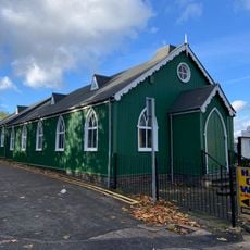
Bury St Edmunds Seventh-day Adventist church
46 m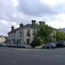
The Linden Tree Public House
51 m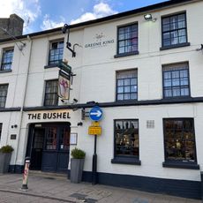
The Bushel Public House
554 m
79, Northgate Street
242 m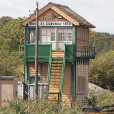
Bury St Edmunds Yard Signal Box
372 m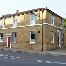
The New Inn And Attached Wall
278 m
53, St Johns Street
468 m
54, St Johns Street
481 m
63 And 65, St Johns Street
610 m
Dolphin House
351 m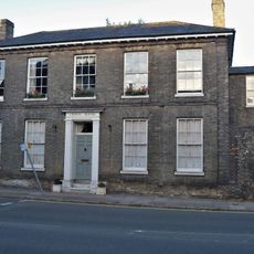
Number 41 And Attached Wall
305 m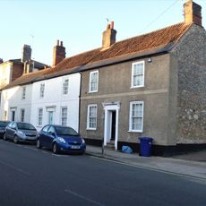
25, 26 And 27, Northgate Street
453 m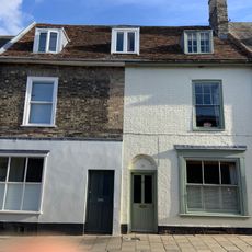
51 And 52, St Johns Street
453 m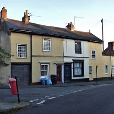
37, 38 And 39, Cannon Street
400 m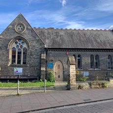
St John's Hall
540 m
Garden wall, 54 St John's Street
492 m
46 And 47, Cannon Street
366 m
17, 17A, 18, 18A And 19, Long Brackland
260 m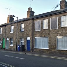
28-31, Cannon Street
446 m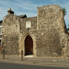
St Saviours Hospital
75 m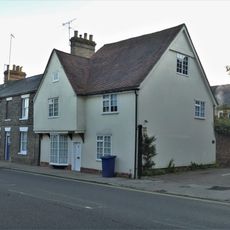
Goldsmiths House
297 m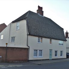
96 And 96A, Northgate Street
390 m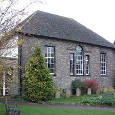
Friends Meeting House
596 m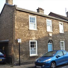
16, Long Brackland
274 m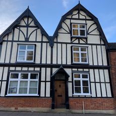
33, St Johns Street
522 m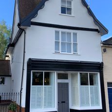
36, St Johns Street
497 mAvis
Vous avez visité ce lieu ? Touchez les étoiles pour le noter et partager votre expérience ou vos photos avec la communauté ! Essayez maintenant ! Vous pouvez annuler à tout moment.
Trouvez des trésors cachés à chaque coin de rue !
Des petits cafés pittoresques aux points de vue planqués, fuyez la foule et dénichez les lieux qui vous ressemblent vraiment. Notre app vous facilite la vie : recherche vocale, filtres malins, itinéraires optimisés et bons plans partagés par des voyageurs du monde entier. Téléchargez vite pour vivre l'aventure en version mobile !

Une approche inédite de la découverte touristique❞
— Le Figaro
Tous les lieux qui valent la peine d'être explorés❞
— France Info
Une excursion sur mesure en quelques clics❞
— 20 Minutes