
Gas Lamp Standard Opposite No 79, gas streetlight in Sevenoaks, Sevenoaks, Kent, UK
Emplacement : Sevenoaks
Coordonnées GPS : 51.26784,0.18168
Dernière mise à jour : 30 mars 2025 à 09:32
Sevenoaks School
980 m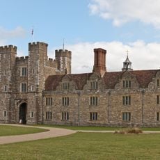
Knole House
1.7 km
The Chequers Inn
813 m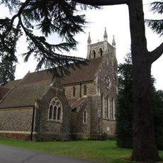
Church of St Mary
296 m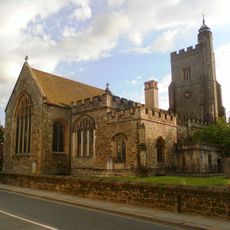
Church of Saint Nicholas
818 m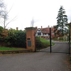
Churchill Court Including Terrace Walls
387 m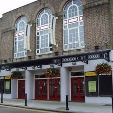
Stag Community Arts Centre
749 m
The Riverhead Public House
1.9 km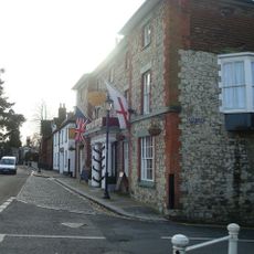
The Royal Oak Hotel
838 m
The Black Boy Public House
823 m
Little Oak End Oak End
843 m
The Royal Oak Tap
842 m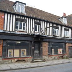
46, 48 And 48A, High Street
853 m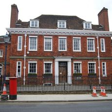
The Red House Including Entrance Gateway, Railings And Side Brick Walls To Forecourt
848 m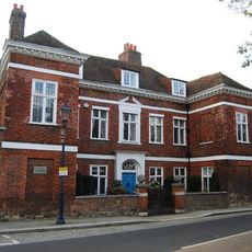
Chantry House Including Entrance Gateway And Screen Wall To Courtyard
833 m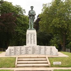
Sevenoaks War Memorial
1.2 km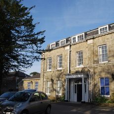
The Manor House
875 m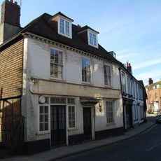
23, High Street
842 m
Claridge House
877 m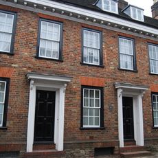
20-24, High Street
862 m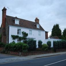
The Old Vicarage
831 m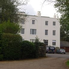
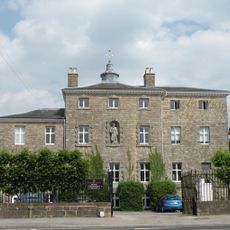
Kippington House Old Folks' Home And Coach Building To North West
57 m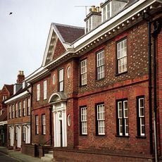
The Old House
860 m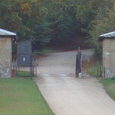
Main Lodge Entrance
1.1 km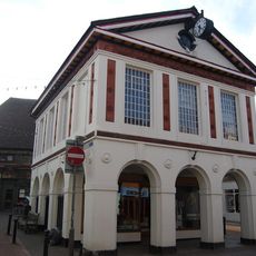
103, High Street
830 m
19, 21 And 21A, High Street
829 m
Garden Walls Adjoining Knole
1.6 km
West Heath School
1.5 kmAvis
Vous avez visité ce lieu ? Touchez les étoiles pour le noter et partager votre expérience ou vos photos avec la communauté ! Essayez maintenant ! Vous pouvez annuler à tout moment.
Trouvez des trésors cachés à chaque coin de rue !
Des petits cafés pittoresques aux points de vue planqués, fuyez la foule et dénichez les lieux qui vous ressemblent vraiment. Notre app vous facilite la vie : recherche vocale, filtres malins, itinéraires optimisés et bons plans partagés par des voyageurs du monde entier. Téléchargez vite pour vivre l'aventure en version mobile !

Une approche inédite de la découverte touristique❞
— Le Figaro
Tous les lieux qui valent la peine d'être explorés❞
— France Info
Une excursion sur mesure en quelques clics❞
— 20 Minutes