
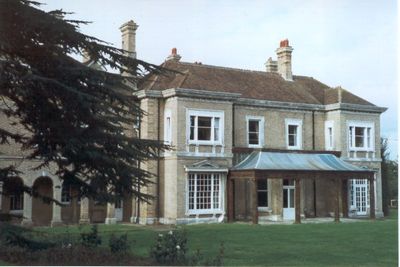
West Heath School, school building, formerly house in Sevenoaks, Kent, United Kingdom
Emplacement : Sevenoaks
Coordonnées GPS : 51.25473,0.18634
Dernière mise à jour : 3 mars 2025 à 06:33

Knole Park
1.6 km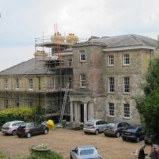
Riverhill House
1.7 km
Hubbard's Hill
1.1 km
The Chequers Inn
1.8 km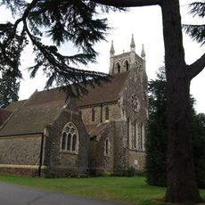
Church of St Mary
1.8 km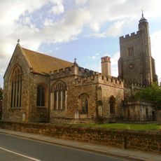
Church of Saint Nicholas
1.5 km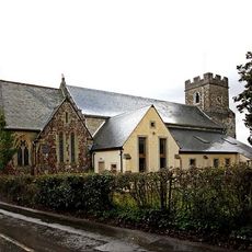
Church of St George
1.6 km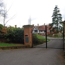
Churchill Court Including Terrace Walls
1.9 km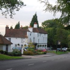
The White Hart Public House
858 m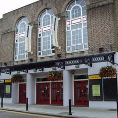
Stag Community Arts Centre
1.7 km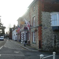
The Royal Oak Hotel
1.4 km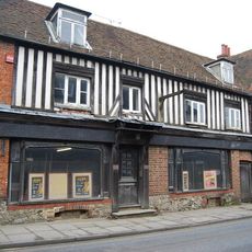
46, 48 And 48A, High Street
1.7 km
The Royal Oak Tap
1.4 km
Little Oak End Oak End
1.3 km
The Red House Including Entrance Gateway, Railings And Side Brick Walls To Forecourt
1.7 km
23, High Street
1.6 km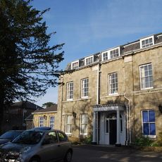
The Manor House
1.5 km
20-24, High Street
1.6 km
Chantry House Including Entrance Gateway And Screen Wall To Courtyard
1.5 km
Claridge House
1.5 km
The Old Vicarage
1.5 km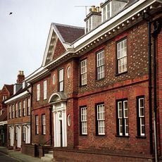
The Old House
1.6 km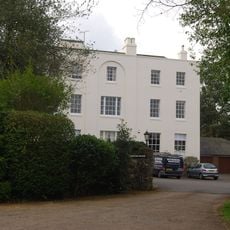
Kippington House Old Folks' Home And Coach Building To North West
1.5 km
Main Lodge Entrance
1.6 km
Garden Walls Adjoining Knole
1.7 km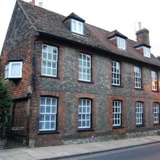
19, 21 And 21A, High Street
1.4 km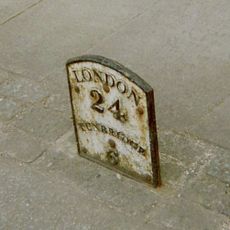
Milestone, Tonbridge Road, opp. No. 15, S of Church by Almshouses
1.4 km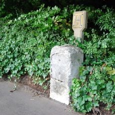
Milestone, Tonbridge Road, opp. Park Cottage, S of jct with Letterbox Lane
920 mAvis
Vous avez visité ce lieu ? Touchez les étoiles pour le noter et partager votre expérience ou vos photos avec la communauté ! Essayez maintenant ! Vous pouvez annuler à tout moment.
Trouvez des trésors cachés à chaque coin de rue !
Des petits cafés pittoresques aux points de vue planqués, fuyez la foule et dénichez les lieux qui vous ressemblent vraiment. Notre app vous facilite la vie : recherche vocale, filtres malins, itinéraires optimisés et bons plans partagés par des voyageurs du monde entier. Téléchargez vite pour vivre l'aventure en version mobile !

Une approche inédite de la découverte touristique❞
— Le Figaro
Tous les lieux qui valent la peine d'être explorés❞
— France Info
Une excursion sur mesure en quelques clics❞
— 20 Minutes