
County Council Marker Stone In Front Of No. 13, building in Etherley, County Durham, UK
Emplacement : Etherley
Coordonnées GPS : 54.64714,-1.74589
Dernière mise à jour : 25 mars 2025 à 01:59

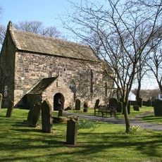
Escomb Church
3.2 km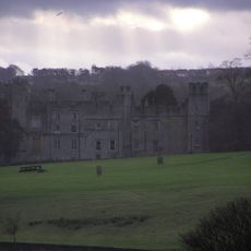
Château de Witton
2.6 km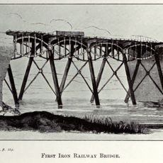
Gaunless Bridge
2.6 km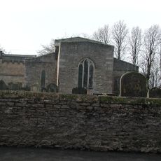
Church of St Helen
2.7 km
Witton-le-Wear
3.3 km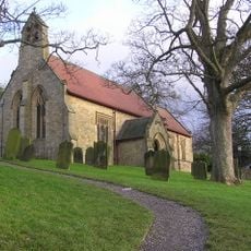
Church of St Philip and St James
3.7 km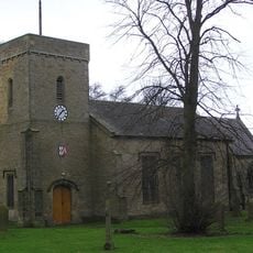
Church of St Cuthbert
283 m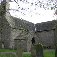
Church of St James
4.7 km
Lightfoot Institute
5 km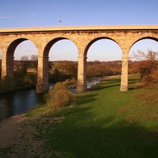
Newton Cap Bridge
4.6 km
Post Office
3.6 km
The Old Manor House Hotel
2.2 km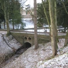
Bridge C.300 Metres South-East Of Witton Castle
2.5 km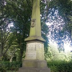
Evenwood War Memorial
2.7 km
Remains of the Stockton and Darlington Railway
1.6 km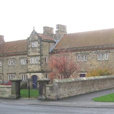
The Old Hall
2.3 km
St Helen Hall
2.8 km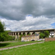
Newton Cap Railway Viaduct Over River Wear
4.7 km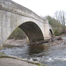
Witton Bridge
3.2 km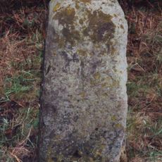
Milestone C.100 Metres North-East Of New Moor Lodge
3.7 km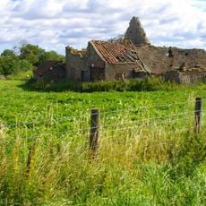
Farm Buildings C.200 Metres North-West Of Green Field Farm
408 m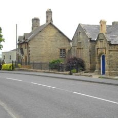
Former Parish School And Wall Attached
350 m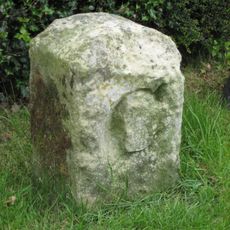
County Council Marker Stone In Front Of No. 77
2.6 km
Hunwick Hall Farmhouse
5 km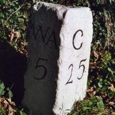
Milestone North Of Witton Le Wear
4.9 km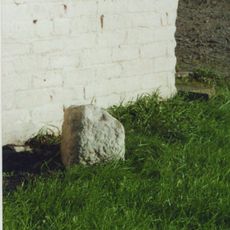
Milestone, S of West Auckland, by Plant Hire building
4.5 km
High Etherley
117 m
Witton-le-Wear
3.5 kmAvis
Vous avez visité ce lieu ? Touchez les étoiles pour le noter et partager votre expérience ou vos photos avec la communauté ! Essayez maintenant ! Vous pouvez annuler à tout moment.
Trouvez des trésors cachés à chaque coin de rue !
Des petits cafés pittoresques aux points de vue planqués, fuyez la foule et dénichez les lieux qui vous ressemblent vraiment. Notre app vous facilite la vie : recherche vocale, filtres malins, itinéraires optimisés et bons plans partagés par des voyageurs du monde entier. Téléchargez vite pour vivre l'aventure en version mobile !

Une approche inédite de la découverte touristique❞
— Le Figaro
Tous les lieux qui valent la peine d'être explorés❞
— France Info
Une excursion sur mesure en quelques clics❞
— 20 Minutes