
'The Holy Well', archaeological site in Southam, Stratford-on-Avon, England, UK
Emplacement : Southam
Coordonnées GPS : 52.25341,-1.40074
Dernière mise à jour : 10 mars 2025 à 19:54

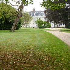
Ladbroke Hall
3.2 km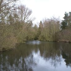
Ufton Fields
3 km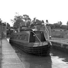
Bascote Locks
2.8 km
Congregational Church
925 m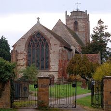
Church of the Holy Trinity
3.3 km
Church of All Saints
3 km
Church of St James
792 m
Church of All Saints
4 km
Church of St Michael
3.3 km
Church of St Michael
3.2 km
Church of St Michael
4.7 km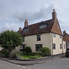
Church House
3.9 km
The Crown Inn
3.9 km
Wissett Lodge
4 km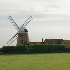
Napton Windmill
4.8 km
Tudor House
3.4 km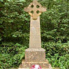
Bascote Heath And Stoneythorpe War Memorial
1.9 km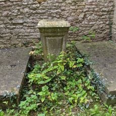
Former Font Approximately 0.5 Metres West Of Tower Of Church Of All Saints
4 km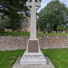
Harbury War Memorial
4 km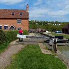
Napton Bottom Lock, Oxford Canal
4.9 km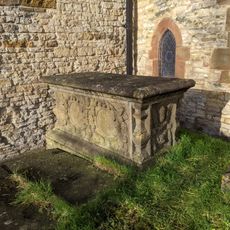
Chest Tomb Approximately 0.5 Metres East Of South Aisle Of Church Of All Saints
4 km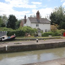
Grand Union Canal, Shop Lock Approximately 7 Metres North Of Cottage Number 221
3.2 km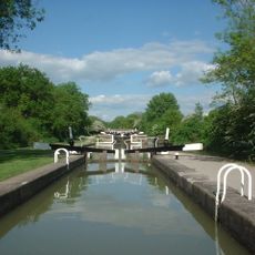
Grand Union Canal, Stockton Locks, To The East Of Bridge Number 23 (Not Included)
3.6 km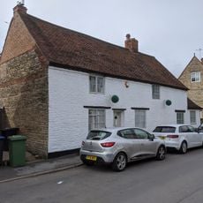
Butchers
4.1 km
The Old Rectory
3 km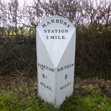
Milestone At National Grid Reference Sp 3928 5935
2.9 km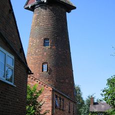
Harbury Windmill
4.2 km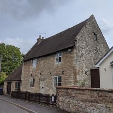
The Homestead
3.9 kmAvis
Vous avez visité ce lieu ? Touchez les étoiles pour le noter et partager votre expérience ou vos photos avec la communauté ! Essayez maintenant ! Vous pouvez annuler à tout moment.
Trouvez des trésors cachés à chaque coin de rue !
Des petits cafés pittoresques aux points de vue planqués, fuyez la foule et dénichez les lieux qui vous ressemblent vraiment. Notre app vous facilite la vie : recherche vocale, filtres malins, itinéraires optimisés et bons plans partagés par des voyageurs du monde entier. Téléchargez vite pour vivre l'aventure en version mobile !

Une approche inédite de la découverte touristique❞
— Le Figaro
Tous les lieux qui valent la peine d'être explorés❞
— France Info
Une excursion sur mesure en quelques clics❞
— 20 Minutes