
Church of St James, église britannique
Emplacement : Southam
Création : 14e siècle
Coordonnées GPS : 52.25250,-1.38922
Dernière mise à jour : 3 mars 2025 à 07:15

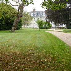
Ladbroke Hall
3.1 km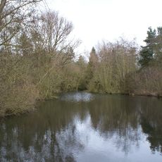
Ufton Fields
3.8 km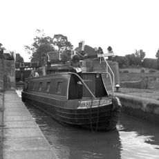
Bascote Locks
3.4 km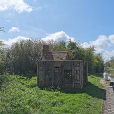
PILLBOX (TYPE FW3/26), Lock No.10 (Oxford Canal), Chapel Green, near Napton on the Hill.
4.2 km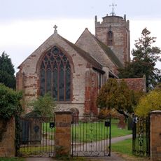
Church of the Holy Trinity
3.4 km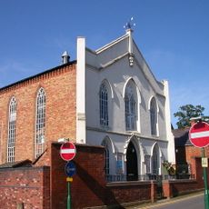
Congregational Church
167 m
Church of All Saints
2.9 km
Church of All Saints
4.7 km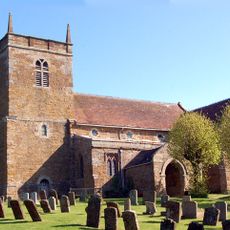
Church of St Lawrence
4.5 km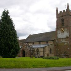
Church of St Michael
2.7 km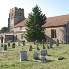
Church of St Michael
3.9 km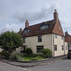
Church House
4.6 km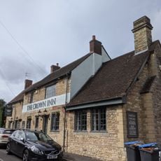
The Crown Inn
4.6 km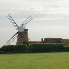
Napton Windmill
4 km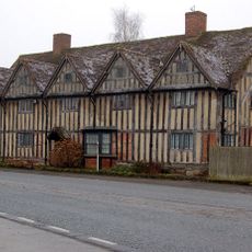
Tudor House
3.4 km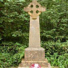
Bascote Heath And Stoneythorpe War Memorial
2.7 km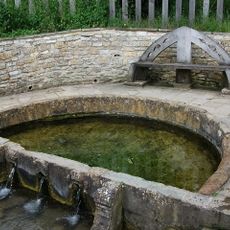
'The Holy Well'
792 m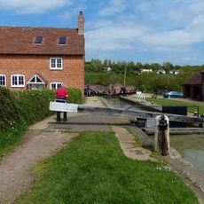
Napton Bottom Lock, Oxford Canal
4.1 km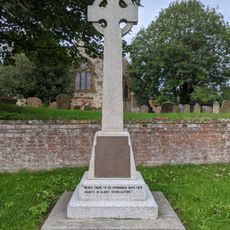
Harbury War Memorial
4.6 km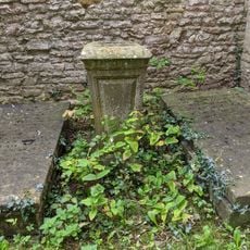
Former Font Approximately 0.5 Metres West Of Tower Of Church Of All Saints
4.7 km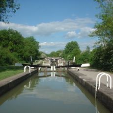
Grand Union Canal, Stockton Locks, To The East Of Bridge Number 23 (Not Included)
3.3 km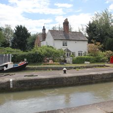
Grand Union Canal, Shop Lock Approximately 7 Metres North Of Cottage Number 221
3 km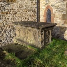
Chest Tomb Approximately 0.5 Metres East Of South Aisle Of Church Of All Saints
4.7 km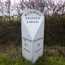
Milestone At National Grid Reference Sp 3928 5935
3.4 km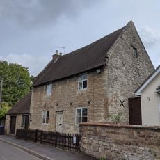
The Homestead
4.6 km
The Old Rectory
2.9 km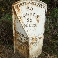
Milepost, 60m W of jct with B4452
3.2 km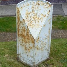
Milepost, in front of Middle Cottage
4.4 kmAvis
Vous avez visité ce lieu ? Touchez les étoiles pour le noter et partager votre expérience ou vos photos avec la communauté ! Essayez maintenant ! Vous pouvez annuler à tout moment.
Trouvez des trésors cachés à chaque coin de rue !
Des petits cafés pittoresques aux points de vue planqués, fuyez la foule et dénichez les lieux qui vous ressemblent vraiment. Notre app vous facilite la vie : recherche vocale, filtres malins, itinéraires optimisés et bons plans partagés par des voyageurs du monde entier. Téléchargez vite pour vivre l'aventure en version mobile !

Une approche inédite de la découverte touristique❞
— Le Figaro
Tous les lieux qui valent la peine d'être explorés❞
— France Info
Une excursion sur mesure en quelques clics❞
— 20 Minutes