
Hadrian's Wall in wall mile 2, Walker section of Hadrian's Wall 171m long across Millers Dene playing field
Hadrian's Wall in wall mile 2, Walker section of Hadrian's Wall 171m long across Millers Dene playing field, archaeological site in the United Kingdom
Emplacement : Newcastle upon Tyne
Fait partie de : Hadrian's Wall, borders of the Roman Empire
Coordonnées GPS : 54.98380,-1.54982
Dernière mise à jour : 19 mars 2025 à 14:23
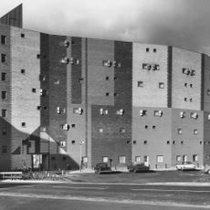
Byker Wall
2 km
Castrum Segedunum
1.2 km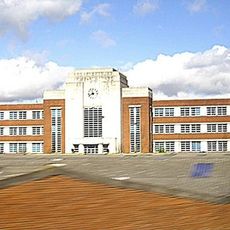
Wills Building
1.6 km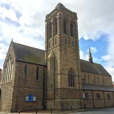
St Luke's Church, Wallsend
1.3 km
Milecastle 1
55 m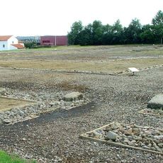
Milecastle 0
1.2 km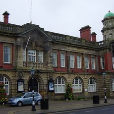
Wallsend Town Hall
1.7 km
Milecastle 2
1.4 km
Segedunum Roman Fort
1.2 km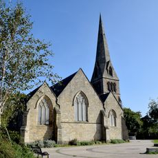
Church of St Michael With St Lawrence
1.9 km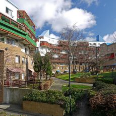
1-52 Raby Gate, 1-55 Shipley Rise, attached walls, seats, fences, pergolas and steps, and Structure Housing District Heating System
2 km
1, 2 and 3 Grace Street
1.9 km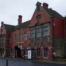
Coach And Horses Public House
1.8 km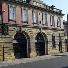
Fire Station
1.7 km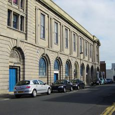
Wallsend Memorial Hall Incorporating A First World War Memorial With Second World War Additions
1.3 km
Swimming Baths
2.1 km
1-81 Felton Walk, St Lawrence RC Church and Church Hall, 1-28 Byker Crescent, 1-8 Headlam House, 1-12 Felton House, and attached walls, fences and pergolas
1.8 km
1-39 Mount Pleasant House and Attached Walls and Fences
1.9 km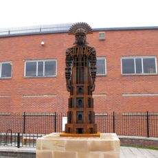
Hadrian's Wall in wall mile 0, Wallsend Roman fort, Segedunum
1.2 km
39-79 Raby Street with attached bin stores and sheds, and walls and fences to rear
2.1 km
Wallsend Library
1.6 km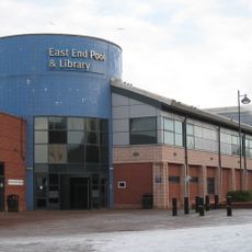
East End Library
2 km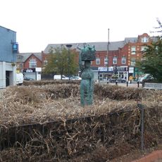
Market Woman, High Street, junction with Station Road, Wallsend
1.3 km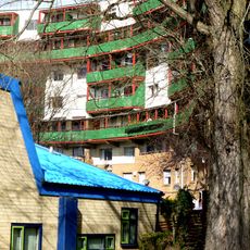
Nos. 1-14, With Attached Archway And Ramp, And Walls And Fences To Rear
2.1 km
1-11 Winship Terrace with kerbs to front and fences to rear
1.8 km
No.1 -17, With Kerbs To Front And Attached Fences
1.8 km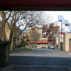
18-22 With Attached Fences And Garages To The Rear
1.9 km
1,3 And 5 And Attached Fences
1.9 kmAvis
Vous avez visité ce lieu ? Touchez les étoiles pour le noter et partager votre expérience ou vos photos avec la communauté ! Essayez maintenant ! Vous pouvez annuler à tout moment.
Trouvez des trésors cachés à chaque coin de rue !
Des petits cafés pittoresques aux points de vue planqués, fuyez la foule et dénichez les lieux qui vous ressemblent vraiment. Notre app vous facilite la vie : recherche vocale, filtres malins, itinéraires optimisés et bons plans partagés par des voyageurs du monde entier. Téléchargez vite pour vivre l'aventure en version mobile !

Une approche inédite de la découverte touristique❞
— Le Figaro
Tous les lieux qui valent la peine d'être explorés❞
— France Info
Une excursion sur mesure en quelques clics❞
— 20 Minutes