
Woolgers, building in Tillington, Chichester, West Sussex, UK
Emplacement : Tillington
Coordonnées GPS : 50.99817,-0.66562
Dernière mise à jour : 30 avril 2025 à 20:32
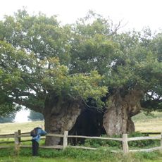
Queen Elizabeth Oak
2.5 km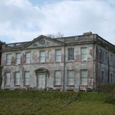
Pitshill
1.2 km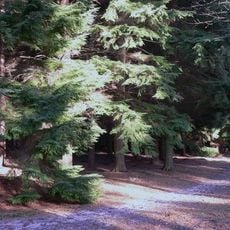
Graffham Common
3.4 km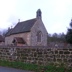
Church of St James
2.3 km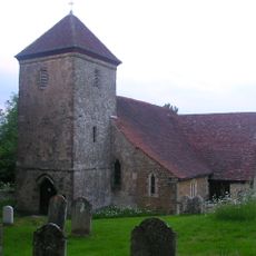
The Parish Church of St Peter
651 m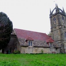
The Parish Church of All Hallows, Tillington
2.7 km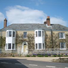
The Great House
860 m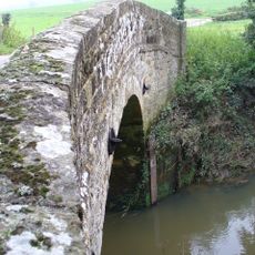
Lod's Bridge
1.7 km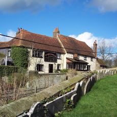
The Horse And Guards Inn
2.7 km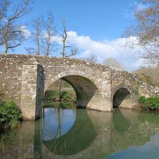
Ambersham Bridge
2.8 km
Upper Vining
2.1 km
Cricket Lodge, Petworth House, And The South Wall Of Petworth Park To The East And West Of The Lodge In Midhurst Road Cricket Lodge, Petworth Park
3.4 km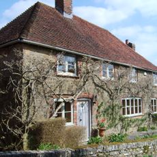
Ewers
778 m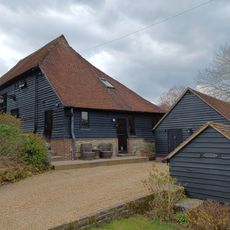
Barn At Gunters Farm To The South Of The Farmhouse
3.3 km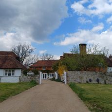
Shotters Farmhouse
3.3 km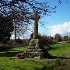
Tillington War Memorial, West Sussex
2.8 km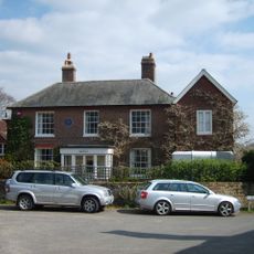
Woodmancote
816 m
Gunters Farmhouse
3.4 km
Mill Farm
2.9 km
The Forecourt Railing Of The Great House To The East Of The House
847 m
Monkston Barns
3.2 km
Barn At Little Todman Stables
3.7 km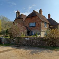
Little Todham's Farmhouse
3.7 km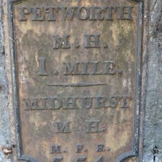
Milestone, Tillington Cottage, 100m E of junction with Upperton Road
2.9 km
Garden Wall (Including Milestone) Between Tillington Cottage And Ivy House
2.8 km
Forge Cottage
3.1 km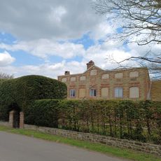
Lickfold Cottage
3.1 km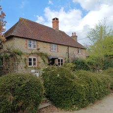
Rose Cottage Sunrise
3.1 kmAvis
Vous avez visité ce lieu ? Touchez les étoiles pour le noter et partager votre expérience ou vos photos avec la communauté ! Essayez maintenant ! Vous pouvez annuler à tout moment.
Trouvez des trésors cachés à chaque coin de rue !
Des petits cafés pittoresques aux points de vue planqués, fuyez la foule et dénichez les lieux qui vous ressemblent vraiment. Notre app vous facilite la vie : recherche vocale, filtres malins, itinéraires optimisés et bons plans partagés par des voyageurs du monde entier. Téléchargez vite pour vivre l'aventure en version mobile !

Une approche inédite de la découverte touristique❞
— Le Figaro
Tous les lieux qui valent la peine d'être explorés❞
— France Info
Une excursion sur mesure en quelques clics❞
— 20 Minutes