13, 15 And 17, Hassocks Road, building in Hurstpierpoint and Sayers Common, Mid Sussex, West Sussex, UK
Emplacement : Hurstpierpoint and Sayers Common
Coordonnées GPS : 50.93194,-0.17158
Dernière mise à jour : 27 octobre 2025 à 07:23

Hurstpierpoint College
1.3 km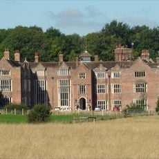
Danny House
1.4 km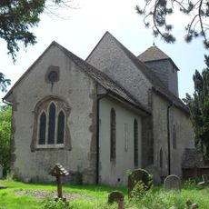
St John the Baptist's Church, Clayton
2.7 km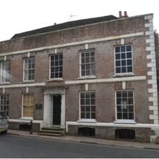
The Mansion House
408 m
Newtimber Place
3.1 km
The Parish Church of the Holy Trinity, Hurstpierpoint and Sayers Common
655 m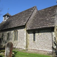
The Parish Church of St Bartholomew
2.9 km
Church of St George
133 m
Hurstpierpoint Baptist Church
845 m
Lodge And Gateway To The East Of Clayton Priory
2.5 km
Wolstonbury
2.5 km
Hurstpierpoint College Chapel
1.4 km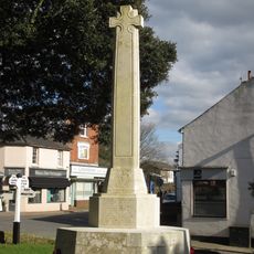
Hurstpierpoint War Memorial
608 m
Keymer War Memorial
3.1 km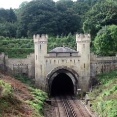
Clayton Tunnel North Portal Tunnel Cottage
2.6 km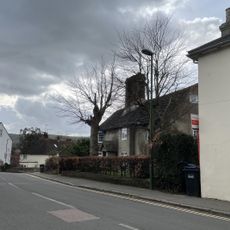
The Old Manor House
3 km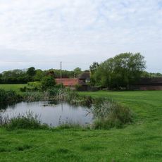
Hautboys
1.8 km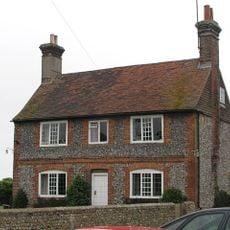
Washbrook Farmhouse
726 m
Little Danny Farmhouse
1.7 km
Star House
2.5 km
Wolstonbury Camp: a Ram's Hill type enclosure on Wolstonbury Hill and associated later remains
2.5 km
Gothic House
37 m
Cross dyke and bowl barrow 310m south east of Wolstonbury Camp
2.9 km
Romano-British farmstead, field system and trackway on Wolstonbury Hill
2.4 km
Wolstonbury Hill
2.3 km
The Big Bench
3 km
Statue, œuvre d’art
1.4 km
Cobbs Mill
2.9 kmAvis
Vous avez visité ce lieu ? Touchez les étoiles pour le noter et partager votre expérience ou vos photos avec la communauté ! Essayez maintenant ! Vous pouvez annuler à tout moment.
Trouvez des trésors cachés à chaque coin de rue !
Des petits cafés pittoresques aux points de vue planqués, fuyez la foule et dénichez les lieux qui vous ressemblent vraiment. Notre app vous facilite la vie : recherche vocale, filtres malins, itinéraires optimisés et bons plans partagés par des voyageurs du monde entier. Téléchargez vite pour vivre l'aventure en version mobile !

Une approche inédite de la découverte touristique❞
— Le Figaro
Tous les lieux qui valent la peine d'être explorés❞
— France Info
Une excursion sur mesure en quelques clics❞
— 20 Minutes