
Hurstpierpoint Baptist Church
Emplacement : Hurstpierpoint and Sayers Common
Coordonnées GPS : 50.93472,-0.18278
Dernière mise à jour : 7 mars 2025 à 08:50


Danny House
1.9 km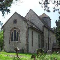
St John the Baptist's Church, Clayton
3.4 km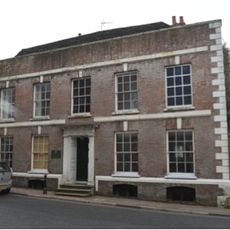
The Mansion House
439 m
Newtimber Place
3 km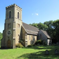
The Parish Church of St John Evangelist
3.3 km
The Parish Church of the Holy Trinity, Hurstpierpoint and Sayers Common
194 m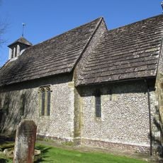
The Parish Church of St Bartholomew
2.1 km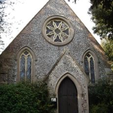
Church of St George
903 m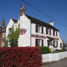
The Castle Hotel
3.8 km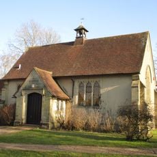
St Edward the Confessor
3.7 km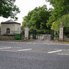
Lodge And Gateway To The East Of Clayton Priory
3.1 km
Pyecombe Manor
3.7 km
Wolstonbury
2.9 km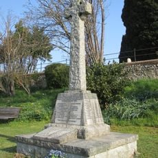
Keymer War Memorial
3.9 km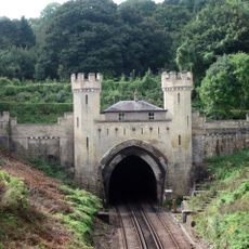
Clayton Tunnel North Portal Tunnel Cottage
3.3 km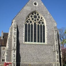
Hurstpierpoint College Chapel
1.6 km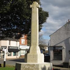
Hurstpierpoint War Memorial
239 m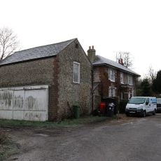
Star House
2.5 km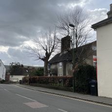
The Old Manor House
3.8 km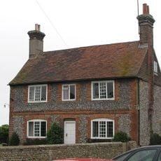
Washbrook Farmhouse
400 m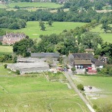
Little Danny Farmhouse
2.1 km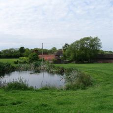
Hautboys
2.4 km
Wolstonbury Camp: a Ram's Hill type enclosure on Wolstonbury Hill and associated later remains
2.9 km
Gothic House
882 m
Cross dyke and bowl barrow 310m south east of Wolstonbury Camp
3.3 km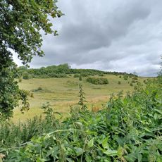
Roman road and 18th century coaching road N of Pyecombe church
3.8 km
Redhouse Farmhouse
3.3 km
Romano-British farmstead, field system and trackway on Wolstonbury Hill
2.8 kmVous avez visité ce lieu ? Touchez les étoiles pour le noter et partager votre expérience ou vos photos avec la communauté ! Essayez maintenant ! Vous pouvez annuler à tout moment.
Trouvez des trésors cachés à chaque coin de rue !
Des petits cafés pittoresques aux points de vue planqués, fuyez la foule et dénichez les lieux qui vous ressemblent vraiment. Notre app vous facilite la vie : recherche vocale, filtres malins, itinéraires optimisés et bons plans partagés par des voyageurs du monde entier. Téléchargez vite pour vivre l'aventure en version mobile !

Une approche inédite de la découverte touristique❞
— Le Figaro
Tous les lieux qui valent la peine d'être explorés❞
— France Info
Une excursion sur mesure en quelques clics❞
— 20 Minutes