
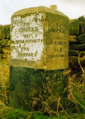
Old Guide Post At Junction With Ing Head Lane, architectural structure in Kirkburton, Kirklees, West Yorkshire, UK
Emplacement : Kirkburton
Création : 19e siècle
Coordonnées GPS : 53.59280,-1.73957
Dernière mise à jour : 4 mars 2025 à 06:15
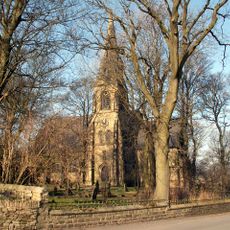
Church of St Thomas, Thurstonland
727 m
Low Fold Farm The Post Office (The Village)
846 m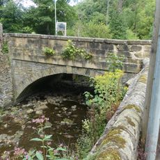
Thunder Bridge
1.6 km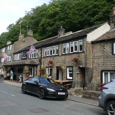
The Woodman Public House
1.7 km
Lumb House Farmhouse
689 m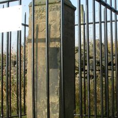
Old Milestone
1.1 km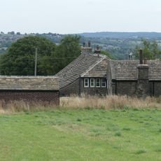
Marsh Hall Farmhouse and barn
913 m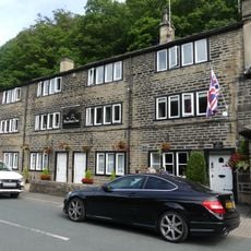
5, 9 and 11, Thunder Bridge Lane
1.7 km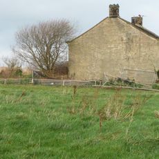
West Royd Farmhouse
1.3 km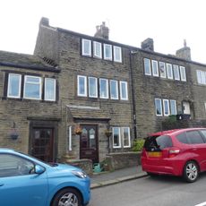
50 and 52, The Village
749 m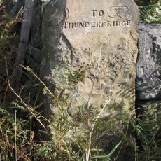
Old Guide Post At Junction With Wood Lane
1.1 km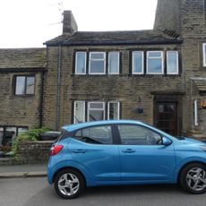
54, The Village
744 m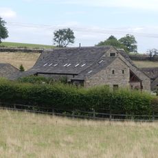
Dairy 100 yards to west of Blake House
876 m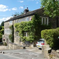
18 and 20, Dam Hill
2 km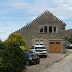
Principal barn 50 yards to south west of Upper Fold Farmhouse
909 m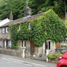
15 and 17, Thunder Bridge Lane
1.7 km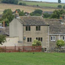
4, The Village
909 m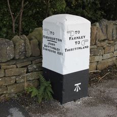
Old Guide Post At Junction With Stores Hall Road
1.4 km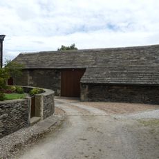
Barn 10 yards to east of Number 9 Upper Fold Farmhouse
865 m
Birks Gate and attached outbuildings
1.6 km
Marsh Hall
905 m
Barn 100 yards to north of Blake House
874 m
Small former barn now adjoining Number 5 Upper Fold Farmhouse
900 m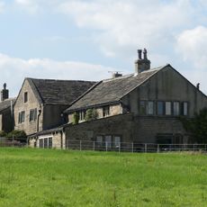
Moor View Farmhouse
1.3 km
Upper Fold Farmhouse
886 m
60, The Village
726 m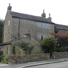
72, The Village
696 m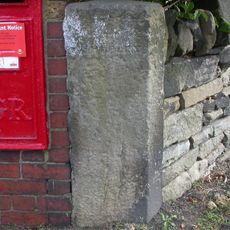
Guidestone, Stocksmoor, Cross Lane
687 mAvis
Vous avez visité ce lieu ? Touchez les étoiles pour le noter et partager votre expérience ou vos photos avec la communauté ! Essayez maintenant ! Vous pouvez annuler à tout moment.
Trouvez des trésors cachés à chaque coin de rue !
Des petits cafés pittoresques aux points de vue planqués, fuyez la foule et dénichez les lieux qui vous ressemblent vraiment. Notre app vous facilite la vie : recherche vocale, filtres malins, itinéraires optimisés et bons plans partagés par des voyageurs du monde entier. Téléchargez vite pour vivre l'aventure en version mobile !

Une approche inédite de la découverte touristique❞
— Le Figaro
Tous les lieux qui valent la peine d'être explorés❞
— France Info
Une excursion sur mesure en quelques clics❞
— 20 Minutes