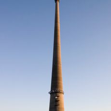
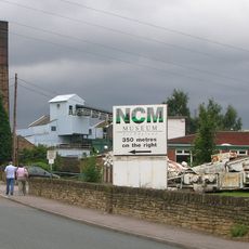
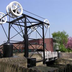
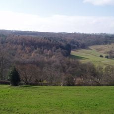
Kirkburton, village britannique
La communauté des voyageurs curieux
AroundUs rassemble des milliers de lieux sélectionnés, conseils locaux et pépites cachées, enrichis chaque jour par plus de 60,000 contributeurs à travers le monde.
Around Us est conçu pour votre téléphone — pointez votre caméra vers les rues et découvrez les monuments et lieux autour de vous en réalité augmentée. Around Us est conçu pour ton smartphone — les coffres s'activent quand tu marches, explores et photographies les lieux autour de toi.
Nous avons besoin de votre position pour vous montrer les lieux intéressants autour de vous
Trouvez des lieux intéressants et des pépites cachées autour de vous
Obtenez des directions précises et les distances vers les lieux
Votre position n'est jamais partagée avec d'autres utilisateurs. Elle n'est utilisée que lorsque vous appuyez sur le bouton de localisation.

La communauté des voyageurs curieux
AroundUs rassemble des milliers de lieux sélectionnés, conseils locaux et pépites cachées, enrichis chaque jour par plus de 60,000 contributeurs à travers le monde.


Pas encore d'avis
Pas encore de discussion
Des petits cafés pittoresques aux points de vue planqués, fuyez la foule et dénichez les lieux qui vous ressemblent vraiment. Notre app vous facilite la vie : recherche vocale, filtres malins, itinéraires optimisés et bons plans partagés par des voyageurs du monde entier. Téléchargez vite pour vivre l'aventure en version mobile !

Une approche inédite de la découverte touristique❞
— Le Figaro
Tous les lieux qui valent la peine d'être explorés❞
— France Info
Une excursion sur mesure en quelques clics❞
— 20 Minutes
Ouvrez l'appareil photo sur votre mobile.
Visez le code QR avec votre caméra. Une notification s'affichera.
Appuyez sur la notification pour ouvrir le lien.