
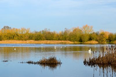
Irthlingborough Lakes and Meadows, nature reserve in the United Kingdom
Emplacement : Irthlingborough
Création : 2012
Coordonnées GPS : 52.31970,-0.60290
Dernière mise à jour : 3 mars 2025 à 00:17
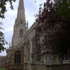
St. Mary's Church, Higham Ferrers
1.7 km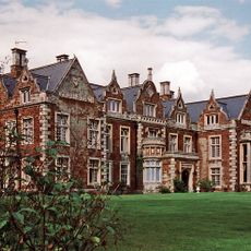
Finedon Hall
4.6 km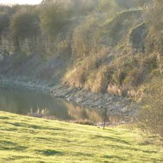
Finedon Top Lodge Quarry
2.7 km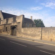
Chichele College: the remains of the medieval college of Higham Ferrers
1.5 km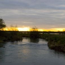
Upper Nene Valley Gravel Pits
2.5 km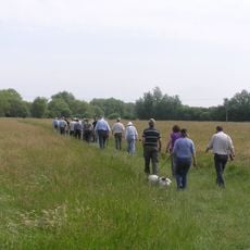
Ditchford Lakes and Meadows
3.2 km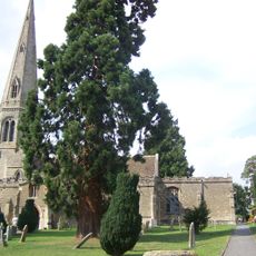
Church of St Lawrence
3.1 km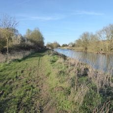
Higham Ferrers Pits
1.3 km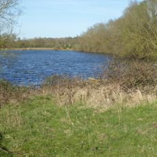
Wilson's Pits
2.2 km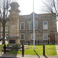
Town Hall
1.7 km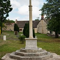
Stanwick War Memorial
3 km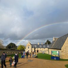
Chester House
4.6 km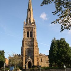
Church of St Mary, Rushden
3.5 km
Church of St Mary the Virgin
4.5 km
Church of St John the Baptist
3.6 km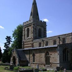
Church of St Mary
3.6 km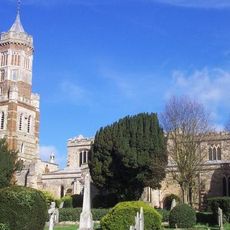
Church of St Peter
857 m
Rushden War Memorial, Northamptonshire
3.5 km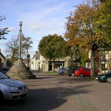
Market Cross
1.7 km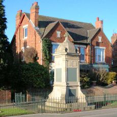
Finedon War Memorial
4.1 km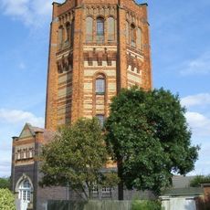
Finedon Water Tower
3.4 km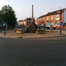
Market Cross At Junction Of Station And Finedon Roads
979 m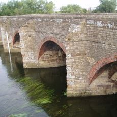
Irthlingborough Old Bridge And Attached Causeway
731 m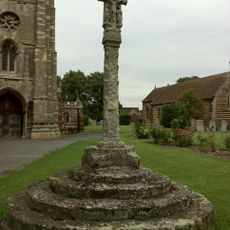
Higham Ferrers Churchyard Cross
1.7 km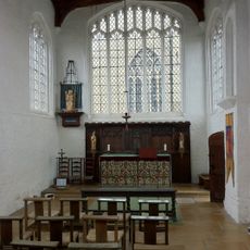
Chantry Chapel Of All Souls
1.6 km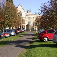
Knuston Hall Including Attached Outbuildings
4.2 km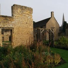
Chichele College, North Range And Attached Foundations
1.5 km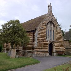
Bede House
1.7 kmAvis
Vous avez visité ce lieu ? Touchez les étoiles pour le noter et partager votre expérience ou vos photos avec la communauté ! Essayez maintenant ! Vous pouvez annuler à tout moment.
Trouvez des trésors cachés à chaque coin de rue !
Des petits cafés pittoresques aux points de vue planqués, fuyez la foule et dénichez les lieux qui vous ressemblent vraiment. Notre app vous facilite la vie : recherche vocale, filtres malins, itinéraires optimisés et bons plans partagés par des voyageurs du monde entier. Téléchargez vite pour vivre l'aventure en version mobile !

Une approche inédite de la découverte touristique❞
— Le Figaro
Tous les lieux qui valent la peine d'être explorés❞
— France Info
Une excursion sur mesure en quelques clics❞
— 20 Minutes