Irthlingborough, localité britannique
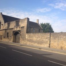
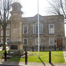
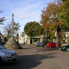
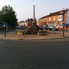
Irthlingborough est une petite ville du North Northamptonshire à côté de la rivière Nene avec des bâtiments historiques et des rues sinueuses. Le centre offre un mélange de bâtiments en pierre traditionnels, de petits commerces, de pubs et de cafés regroupés autour d'une place de marché active.
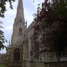
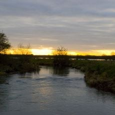
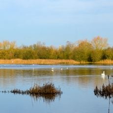
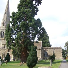
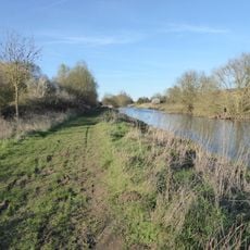
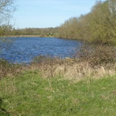
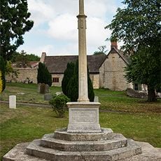
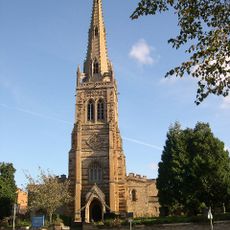
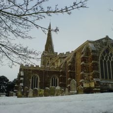
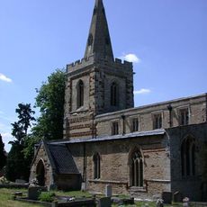
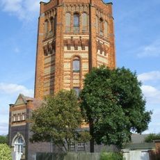
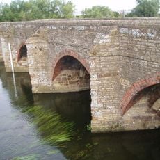
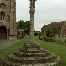
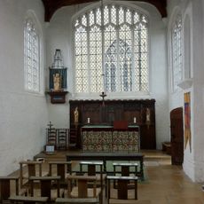
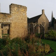
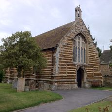
La ville remonte à l'époque médiévale et était connue pour l'exploitation minière de la minette et les moulins à grains alimentés par la rivière Nene. L'église Saint-Pierre avec sa tour lanterne distinctive se dresse depuis des centaines d'années comme ancre historique de la communauté.
La place du marché est le cœur de la vie communautaire à Irthlingborough, où les habitants et les visiteurs se retrouvent dans les petits commerces et cafés locaux. Les rues reflètent une petite ville anglaise traditionnelle où les liens familiaux et de voisinage sont très forts.
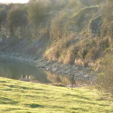
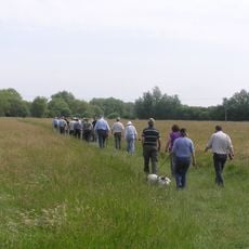
La ville est assez petite pour être explorée à pied avec des sentiers le long de la rivière Nene pour des promenades tranquilles. Le stationnement local est disponible près du centre, et l'accès routier se fait par des contournements qui tiennent la circulation à l'écart du centre-ville historique.
L'église Saint-Pierre possède une insolite tour lanterne qui a été construite historiquement pour guider les voyageurs par temps brumeux. La tour et les quatre portes directionnelles font de ce bâtiment un témoignage architectural distinctif de l'histoire locale.
La communauté des voyageurs curieux
AroundUs rassemble des milliers de lieux sélectionnés, conseils locaux et pépites cachées, enrichis chaque jour par plus de 60,000 contributeurs à travers le monde.