
Field system in Lamb Lea, archaeological site in East Dean, Chichester, England, UK
Emplacement : East Dean
Coordonnées GPS : 50.92860,-0.69748
Dernière mise à jour : 10 avril 2025 à 21:14

Cocking Lime Works
4.4 km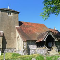
St Catherine of Siena Church, Cocking
4.4 km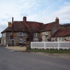
The Fox Goes Free
3.5 km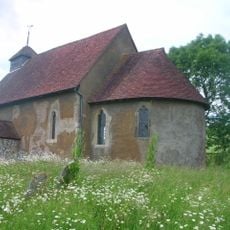
St Mary The Virgin, Upwaltham
3 km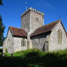
The Parish Church of All Saints
2.3 km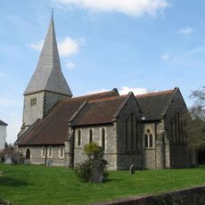
The Parish Church of St Giles
2 km
The Parish Church of St Peter
3.2 km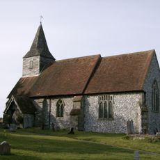
The Parish Church of St James, Heyshott
3.5 km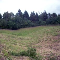
Heyshott Down round barrow cemetery and cross dykes
1.6 km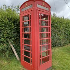
K6 Telephone Kiosk Opposite St James' Church
3.5 km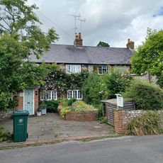
Rose Cottage
4.3 km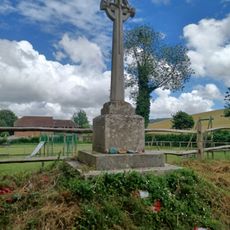
Singleton War Memorial
4.3 km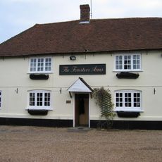
The Foresters Public House
2.9 km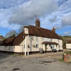
The Partridge Inn
4.4 km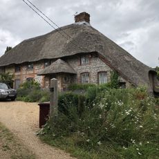
The Thatch
2.2 km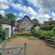
Thatch Cottage
4.3 km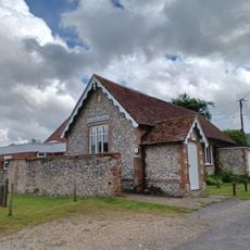
The Cobden Club Hall
3.5 km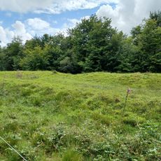
Multiple cross dyke on Heyshott Down
2.6 km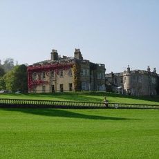
Lavington Park
3.2 km
Cobdens Farriers
3.4 km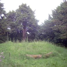
Bowl barrow on Graffham Down
1.2 km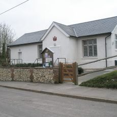
The Village Hall
2.5 km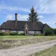
Homes Of Rest
2.3 km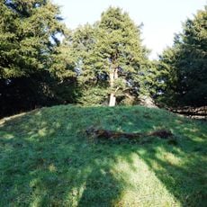
Bowl barrow on Graffham Down, 200m south of Limekiln Bottom
1.2 km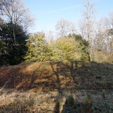
Bowl barrow and bell barrow on Graffham Down
1.2 km
Fox Hall
3.6 km
Cocking War Memorial, West Sussex
4.4 km
Kingsham Cottage
4.3 kmAvis
Vous avez visité ce lieu ? Touchez les étoiles pour le noter et partager votre expérience ou vos photos avec la communauté ! Essayez maintenant ! Vous pouvez annuler à tout moment.
Trouvez des trésors cachés à chaque coin de rue !
Des petits cafés pittoresques aux points de vue planqués, fuyez la foule et dénichez les lieux qui vous ressemblent vraiment. Notre app vous facilite la vie : recherche vocale, filtres malins, itinéraires optimisés et bons plans partagés par des voyageurs du monde entier. Téléchargez vite pour vivre l'aventure en version mobile !

Une approche inédite de la découverte touristique❞
— Le Figaro
Tous les lieux qui valent la peine d'être explorés❞
— France Info
Une excursion sur mesure en quelques clics❞
— 20 Minutes