
Llanilar, village au Royaume-Uni
Emplacement : Ceredigion
Coordonnées GPS : 52.35000,-4.01667
Dernière mise à jour : 24 avril 2025 à 19:53

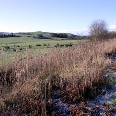
Dyfi Biosphere
3.5 km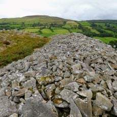
Gaer Fawr
3.3 km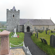
Church of Saint Ilar
826 m
Caer Argoed
3.5 km
St Michael's Church
4.1 km
Capel Blaenplwyf
5.2 km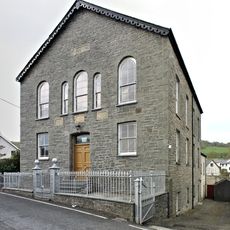
Capel Carmel
755 m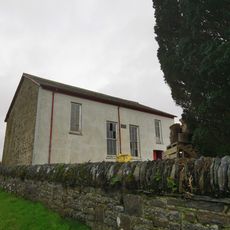
Capel Cynnon including vestry
3.3 km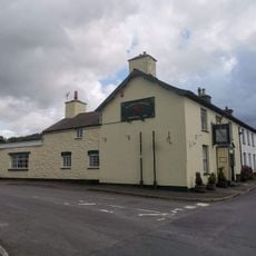
The Falcon Inn
781 m
Cilcwm Calvinistic Methodist Sunday School
1.3 km
Lodge Fach
4.1 km
Pant-Glas Calvinistic Methodist Chapel/Sunday School
2.3 km
The Vicarage
956 m
Gates and railings to Capel Blaenplwyf
5.2 km
Gatepiers and low walls to main entrance to Trawsgoed House
4.1 km
Llwyn with front railings
789 m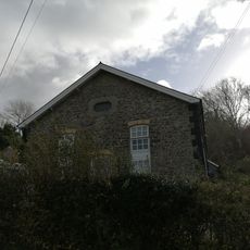
Horeb Chapel
3 km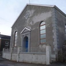
Rhyd-Lwyd Chapel
4 km
Castle Hill
380 m
Glanadair with railings and attached shop
800 m
Abermagwr Sawmill
3.8 km
Outbuilding to N of Vicarage
987 m
Gates, piers and railings to Plas Llidiardau
1 km
Castle Hill Lodge
712 m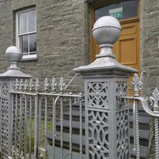
Gates and railings to Capel Carmel
755 m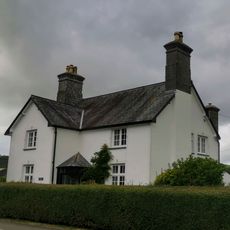
Glanhaul
899 m
Tŷ Cnwc
882 m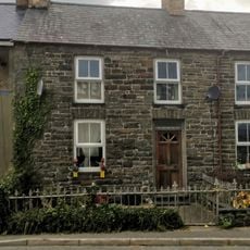
Islwyn and front railings
784 mAvis
Vous avez visité ce lieu ? Touchez les étoiles pour le noter et partager votre expérience ou vos photos avec la communauté ! Essayez maintenant ! Vous pouvez annuler à tout moment.
Trouvez des trésors cachés à chaque coin de rue !
Des petits cafés pittoresques aux points de vue planqués, fuyez la foule et dénichez les lieux qui vous ressemblent vraiment. Notre app vous facilite la vie : recherche vocale, filtres malins, itinéraires optimisés et bons plans partagés par des voyageurs du monde entier. Téléchargez vite pour vivre l'aventure en version mobile !

Une approche inédite de la découverte touristique❞
— Le Figaro
Tous les lieux qui valent la peine d'être explorés❞
— France Info
Une excursion sur mesure en quelques clics❞
— 20 Minutes