
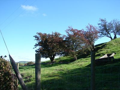
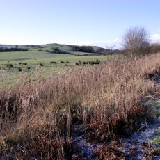
Caer Argoed, hillfort in Ceredigion
Emplacement : Ceredigion
Coordonnées GPS : 52.31970,-4.03210
Dernière mise à jour : 4 mars 2025 à 00:02
Dyfi Biosphere
2.2 km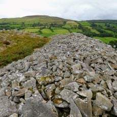
Gaer Fawr
3.4 km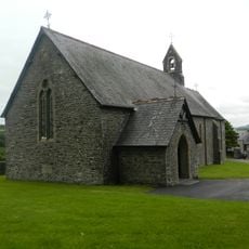
Church of St Ursula
2 km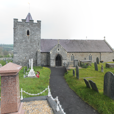
Church of Saint Ilar
4.2 km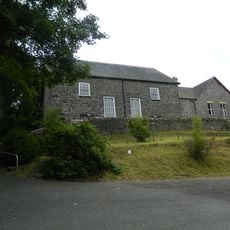
Capel Tabor
1.9 km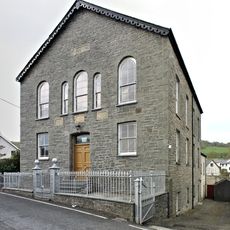
Capel Carmel
4.1 km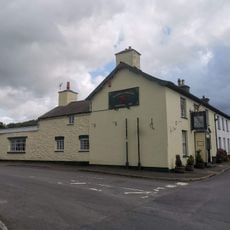
The Falcon Inn
4.1 km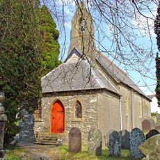
Church of St Michael
3.1 km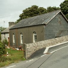
Pant-Glas Calvinistic Methodist Chapel/Sunday School
3.8 km
Cilcwm Calvinistic Methodist Sunday School
3.1 km
The Vicarage
4.3 km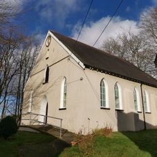
Moriah Chapel
4.4 km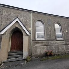
Capel Elim
5.5 km
Llwyn with front railings
4.1 km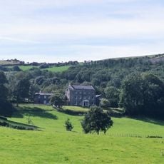
Castle Hill
3.8 km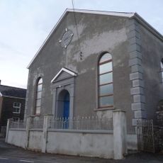
Rhyd-Lwyd Chapel
3 km
Bronant Chapel
4.2 km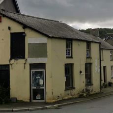
Glanadair with railings and attached shop
4.1 km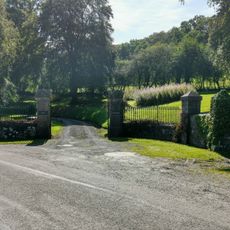
Gates, piers and railings to Plas Llidiardau
4.2 km
Outbuilding to N of Vicarage
4.4 km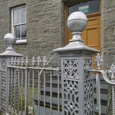
Gates and railings to Capel Carmel
4.1 km
Bryn Ilar
4.1 km
Glanhaul
4.1 km
Islwyn and front railings
4.1 km
Blaenafon Chapel
5.3 km
Castle Hill Lodge
4.2 km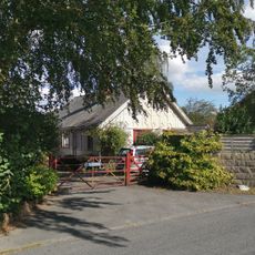
Tŷ Cnwc
4.3 km
Blaenwyre Sunday School
4.5 kmAvis
Vous avez visité ce lieu ? Touchez les étoiles pour le noter et partager votre expérience ou vos photos avec la communauté ! Essayez maintenant ! Vous pouvez annuler à tout moment.
Trouvez des trésors cachés à chaque coin de rue !
Des petits cafés pittoresques aux points de vue planqués, fuyez la foule et dénichez les lieux qui vous ressemblent vraiment. Notre app vous facilite la vie : recherche vocale, filtres malins, itinéraires optimisés et bons plans partagés par des voyageurs du monde entier. Téléchargez vite pour vivre l'aventure en version mobile !

Une approche inédite de la découverte touristique❞
— Le Figaro
Tous les lieux qui valent la peine d'être explorés❞
— France Info
Une excursion sur mesure en quelques clics❞
— 20 Minutes