
Ward of Vintry, ward of the City of London
Emplacement : City of London
Coordonnées GPS : 51.51100,-0.09340
Dernière mise à jour : 3 juin 2025 à 21:59
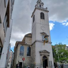
St James Garlickhythe, London
27 m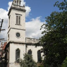
Église Saint-Michael Paternoster Royal
89 m
St Michael Queenhithe
111 m
Holy Trinity the Less
92 m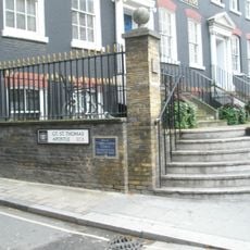
St Thomas the Apostle
12 m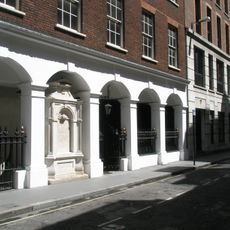
St John the Baptist upon Walbrook
150 m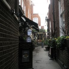
St John the Evangelist Friday Street
100 m
St Nicholas Olave
100 m
Skilbeck's Warehouse
88 m
69, Upper Thames Street
50 m
Sweetings
172 m
Monument In Yard Of Former Church Of St John The Baptist, Wallbrook
164 m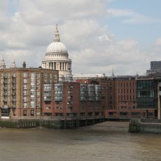
Queenhithe dock
157 m
The Sugar Loaf Public House
145 m
Vintners' Hall
36 m
Dyers' Hall
143 m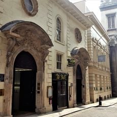
22, College Hill Ec4
106 m
Huggin Hill Roman bath house, 120m WNW of St James's Church
143 m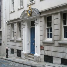
Painter Stainers' Hall
135 m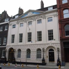
Skinners' Hall
134 m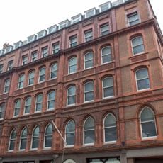
Tallow Chandlers' Hall
155 m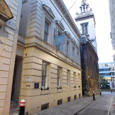
19 And 20, College Hill Ec4
95 m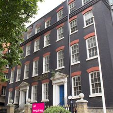
27 And 28, Queen Street Ec4
114 m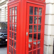
K2 Telephone Kiosk At Junction With Queen Street
101 m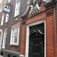
Innholders' Hall
120 m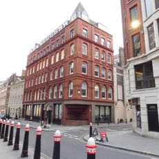
Drake House Lonsdale House
164 m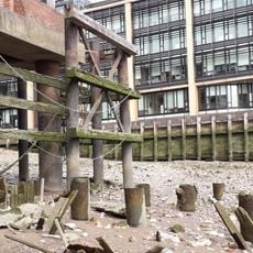
Smiths' Wharf
137 m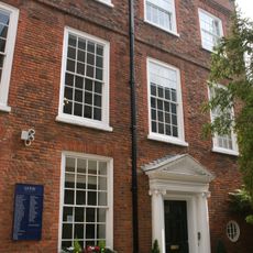
22a, College Hill Ec4
116 mAvis
Vous avez visité ce lieu ? Touchez les étoiles pour le noter et partager votre expérience ou vos photos avec la communauté ! Essayez maintenant ! Vous pouvez annuler à tout moment.
Trouvez des trésors cachés à chaque coin de rue !
Des petits cafés pittoresques aux points de vue planqués, fuyez la foule et dénichez les lieux qui vous ressemblent vraiment. Notre app vous facilite la vie : recherche vocale, filtres malins, itinéraires optimisés et bons plans partagés par des voyageurs du monde entier. Téléchargez vite pour vivre l'aventure en version mobile !

Une approche inédite de la découverte touristique❞
— Le Figaro
Tous les lieux qui valent la peine d'être explorés❞
— France Info
Une excursion sur mesure en quelques clics❞
— 20 Minutes