
St. Stephen, civil parish in the City of St Albans district in Hertfordshire, England
Emplacement : St Albans
Coordonnées GPS : 51.73500,-0.36000
Dernière mise à jour : 14 avril 2025 à 19:48
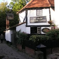
Ye Olde Fighting Cocks
1.8 km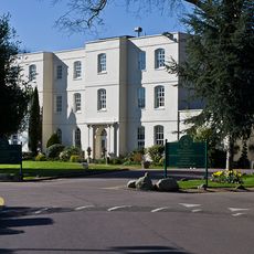
Sopwell House
2.3 km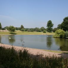
Verulamium Park
1.6 km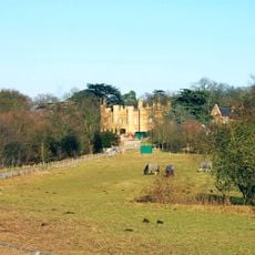
Wall Hall
5.8 km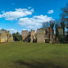
Sopwell Priory
2 km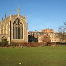
All Saints Pastoral Centre
4.8 km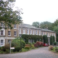
High Elms Manor
4.3 km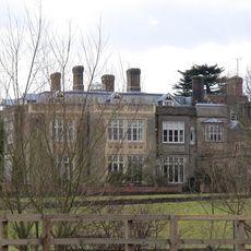
Munden House
5.1 km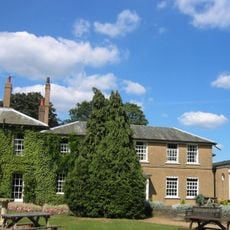
Edge Grove School
6.5 km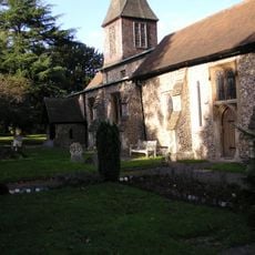
St. Stephen's Church, St. Albans
1.1 km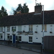
Hare And Hounds Public House
2.2 km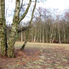
Ashridge Commons and Woods
4.3 km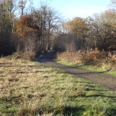
Bricket Wood Common
4.3 km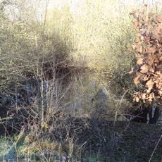
Moor Mill Quarry, West
2.7 km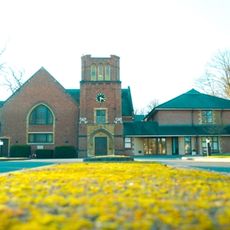
Stanborough Park Church
6.1 km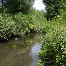
Watercress Wildlife Site
2.1 km
Bricket Wood Paintball
2.5 km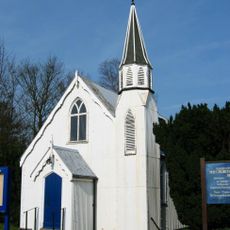
Church of the Ascension
3.7 km
The King Harry Public House
1.1 km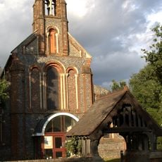
Church of the Holy Trinity
2.7 km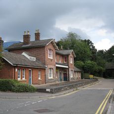
Old Station House
2.5 km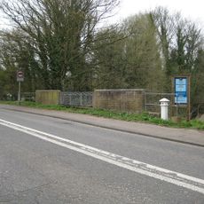
London Coal Duty Marker On East Side Of Broad Colney Bridge
4.7 km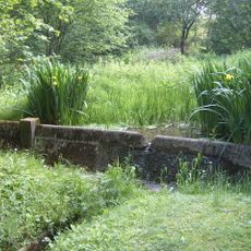
Replica of the Mohne Dam, in the grounds of the Building Research Establishment, Garston
3.8 km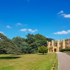
Wall Hall (The Mansion)
5.8 km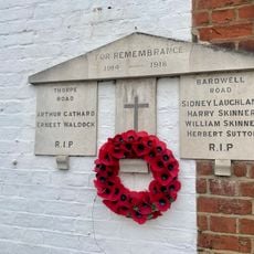
War Memorial Plaque Attached to 1 Bardwell Road and 22 Thorpe Road
2.1 km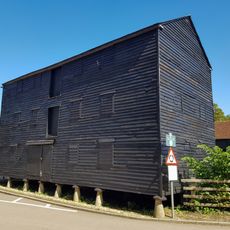
Granary About 50 Metres South East Of Wall Hall Home Farm House
6.1 km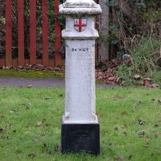
London Coal Duty Marker On Verge Near Number 67
4.9 km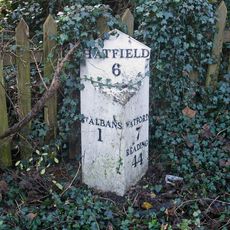
Milepost Between Numbers 10 And 12, On Opposite Side Of Road
1.3 kmAvis
Vous avez visité ce lieu ? Touchez les étoiles pour le noter et partager votre expérience ou vos photos avec la communauté ! Essayez maintenant ! Vous pouvez annuler à tout moment.
Trouvez des trésors cachés à chaque coin de rue !
Des petits cafés pittoresques aux points de vue planqués, fuyez la foule et dénichez les lieux qui vous ressemblent vraiment. Notre app vous facilite la vie : recherche vocale, filtres malins, itinéraires optimisés et bons plans partagés par des voyageurs du monde entier. Téléchargez vite pour vivre l'aventure en version mobile !

Une approche inédite de la découverte touristique❞
— Le Figaro
Tous les lieux qui valent la peine d'être explorés❞
— France Info
Une excursion sur mesure en quelques clics❞
— 20 Minutes