
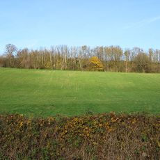
Pipe and Lyde, village britannique
Emplacement : Herefordshire
Coordonnées GPS : 52.09200,-2.72600
Dernière mise à jour : 3 mars 2025 à 14:06
Sutton Walls Hill Fort
3.2 km
Courtyard Centre for the Arts
3.5 km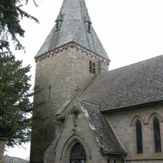
Church of St Peter
126 m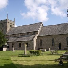
Church of St Mary
2.5 km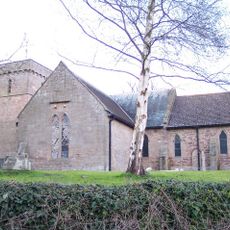
Church of St Nicholas
3.3 km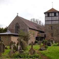
Church of St Bartholomew
1.6 km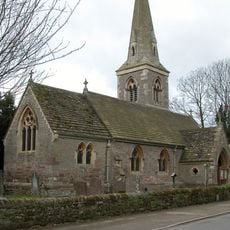
Church of St Andrew
1.7 km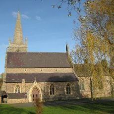
Church of St Mary
3.2 km
Church of St Mary Magdalene
2.7 km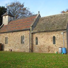
Church of St Michael
2.9 km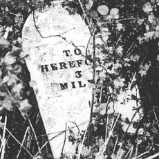
Mile Stone About 3/4 Mile South-South-West Of Church Of St Nicholas
2.6 km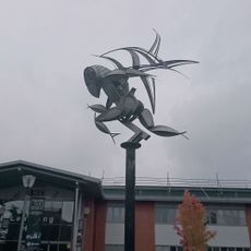
4Runner
3 km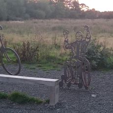
Sustrans Portrait Bench Hereford
3.6 km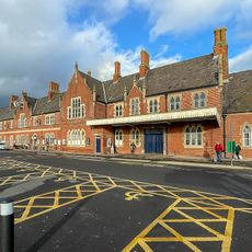
Barr's Court Railway Station
3.6 km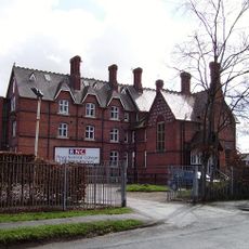
Royal National College for the Blind building
3 km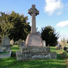
Sutton St Nicholas War Memorial
3.4 km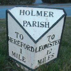
Milepost, Holmer Road, opp. warehouse
2.7 km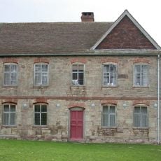
Shelwick Court
2.6 km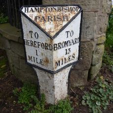
Milestone To South East Of Junction With Broadlands Lane
3.6 km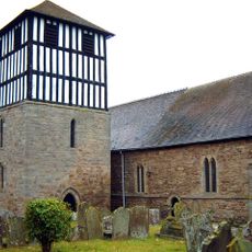
Detached Bell Tower South Of Church Of St Bartholomew
1.6 km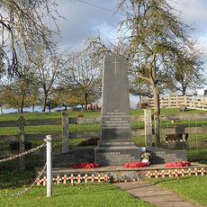
Marden War Memorial, Herefordshire
3.3 km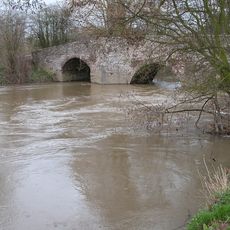
Moreton Bridge
2.1 km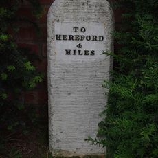
Milestone In Front Of Sutton Mission Hall
3.3 km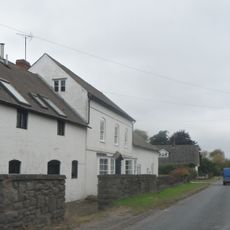
Lugg Farmhouse
3.7 km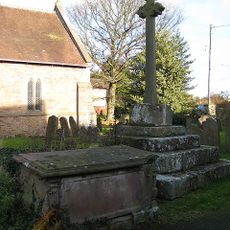
Churchyard cross in St Bartholomew's churchyard
1.6 km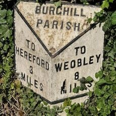
Milepost, St Mary's Hospital
2.3 km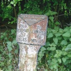
Milepost, Pipe Bridge; N of bridge
484 m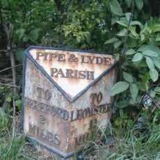
Milepost, N of Holmer House
1.1 kmAvis
Vous avez visité ce lieu ? Touchez les étoiles pour le noter et partager votre expérience ou vos photos avec la communauté ! Essayez maintenant ! Vous pouvez annuler à tout moment.
Trouvez des trésors cachés à chaque coin de rue !
Des petits cafés pittoresques aux points de vue planqués, fuyez la foule et dénichez les lieux qui vous ressemblent vraiment. Notre app vous facilite la vie : recherche vocale, filtres malins, itinéraires optimisés et bons plans partagés par des voyageurs du monde entier. Téléchargez vite pour vivre l'aventure en version mobile !

Une approche inédite de la découverte touristique❞
— Le Figaro
Tous les lieux qui valent la peine d'être explorés❞
— France Info
Une excursion sur mesure en quelques clics❞
— 20 Minutes